
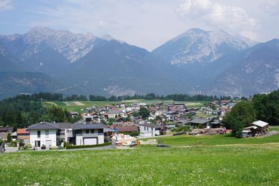
Ranggen, municipality in Innsbruck-Land District, Tyrol, Austria
Location: Innsbruck-Land District
Elevation above the sea: 826 m
Email: gemeinde@ranggen.tirol.gv.at
Website: https://ranggen.at
GPS coordinates: 47.25750,11.21111
Latest update: March 5, 2025 13:23

Rangger Köpfl
2.8 km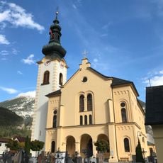
Zirl parish church
2.9 km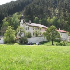
Ranggen, Ansitz Ferklehen
3.2 km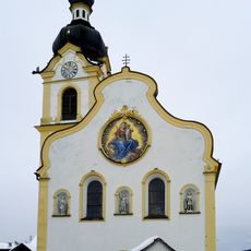
Pfarrkirche Oberperfuss
3.3 km
Ranggen, Kath. Pfarrkirche hl. Magnus und Friedhof
48 m
Poltenkapelle Oberperfuss
1.3 km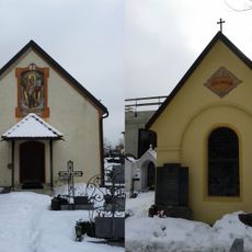
Friedhofskapelle hl. Michael und Lourdeskapelle
2.9 km
Kapellenbildstock, Aigner-Kapelle
2.7 km
Ranggen, Wirtskapelle
418 m
Ranggen, Viehscheid-Kapelle
553 m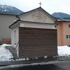
Rangger-Kapelle, Franzosenkapelle
1.5 km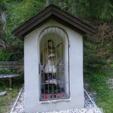
Kapelle hl. Johannes Nepomuk, Johanneskapelle
990 m
Ranggen, Flurkapelle Osums
790 m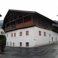
Bauernhaus, Heimatmuseum
2.1 km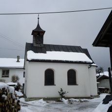
Hofkapelle, Zischgen-Kapelle
2.2 km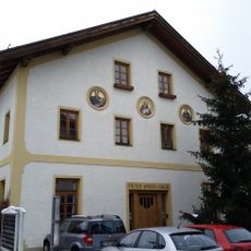
Peter Anich-Museum
3.2 km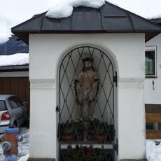
Gassler-Kapelle
3.2 km
Kapelle Gfas
2.9 km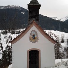
Kapelle Gigglberg
2 km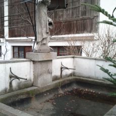
Laufbrunnen
2.1 km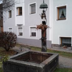
Brunnen hl. Johannes Nepomuk
1.9 km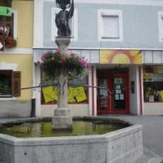
Brunnen mit hl. Florian
2.8 km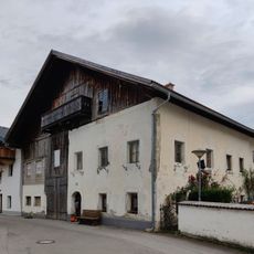
Bauernhaus Wagner
3.3 km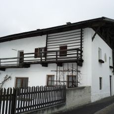
Wohnhaus, Hölbling-Hof
2.7 km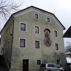
Kirchlicher Repräsentationsbau
2.7 km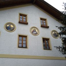
Östl. Giebelfassade mit 3 Mosaikmedaillons an der alten Schule
3.2 km
Bildstock hl. Johannes Nepomuk
2.3 km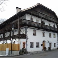
Wohnhaus, sog. Garberhaus
2.7 kmVisited this place? Tap the stars to rate it and share your experience / photos with the community! Try now! You can cancel it anytime.
Discover hidden gems everywhere you go!
From secret cafés to breathtaking viewpoints, skip the crowded tourist spots and find places that match your style. Our app makes it easy with voice search, smart filtering, route optimization, and insider tips from travelers worldwide. Download now for the complete mobile experience.

A unique approach to discovering new places❞
— Le Figaro
All the places worth exploring❞
— France Info
A tailor-made excursion in just a few clicks❞
— 20 Minutes