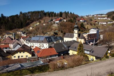
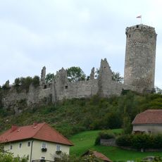
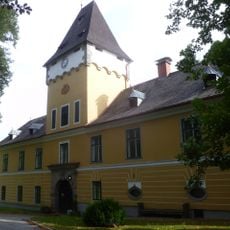
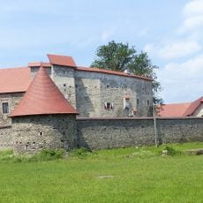
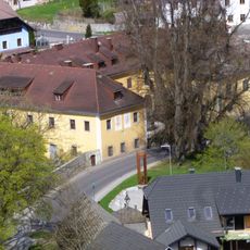
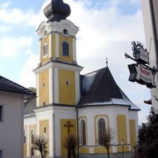
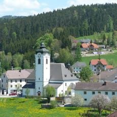
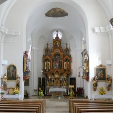
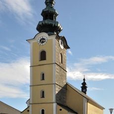
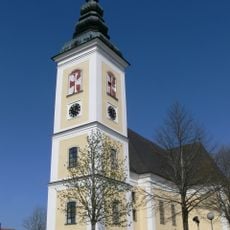
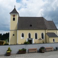
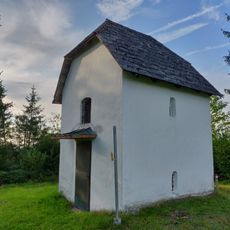
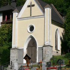
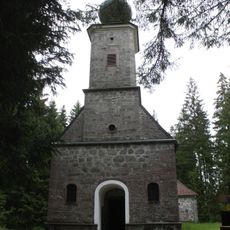
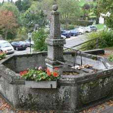
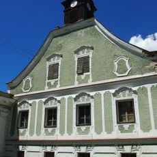
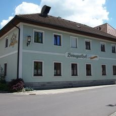
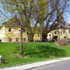
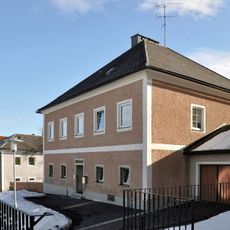
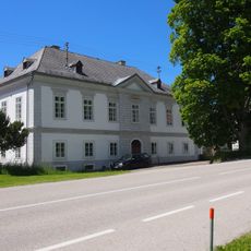
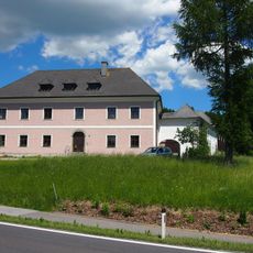
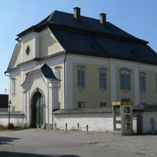
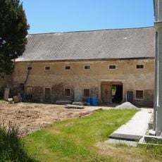
Helfenberg, municipality in Rohrbach District, Upper Austria, Austria
Location: Rohrbach District
Elevation above the sea: 567 m
Shares border with: Sankt Veit im Mühlkreis, Sankt Johann am Wimberg, Sankt Peter am Wimberg, St. Stefan-Afiesl, Vorderweißenbach, Oberneukirchen
Email: gemeinde@helfenberg.ooe.gv.at
Website: http://helfenberg.at
GPS coordinates: 48.54333,14.14250
Latest update: March 25, 2025 01:07
Waxenberg Castle
8.3 km
Helfenberg Castle (Austria)
413 m
Burg Piberstein
1.7 km
Waxenberg - Altes Schloss
8.2 km
St.Johann am Wimberg - Pfarrkirche
6.2 km
Sankt Peter und Paul
5.7 km
St.Erhard
82 m
Saint Joseph the Worker church
5.4 km
Saint Peter parish church
6.4 km
Sankt Stefan am Walde - Parish church
4 km
St.Joseph in Waxenberg
8.2 km
Calvary chapel
5.9 km
Friedhofskapelle
107 m
Forest chapel Maria Rast
2.3 km
Brunnen
8.2 km
Braukeller Hinterweissenbach
4.9 km
Neues Löfflergut, Vorderweißenbach
5 km
Gasthof zur Linde
116 m
Bürgerspital Helfenberg
232 m
Altes Löfflergut, Hinterweißenbach
4.8 km
Ehem. Braugasthof, Gasthof Mascher
5.8 km
Drei Schlosslinden in Waxenberg
8.2 km
Pfarrhof Großtraberg
5.5 km
Taverne Hinterweißenbach
4.8 km
Pfarrhof
5.8 km
Pfarrhof
6.4 km
Brauhaus
4.9 km
Winterlinde von Oberweißenbach
5.9 kmReviews
Visited this place? Tap the stars to rate it and share your experience / photos with the community! Try now! You can cancel it anytime.
Discover hidden gems everywhere you go!
From secret cafés to breathtaking viewpoints, skip the crowded tourist spots and find places that match your style. Our app makes it easy with voice search, smart filtering, route optimization, and insider tips from travelers worldwide. Download now for the complete mobile experience.
A unique approach to discovering new places❞
— Le Figaro
All the places worth exploring❞
— France Info
A tailor-made excursion in just a few clicks❞
— 20 Minutes