
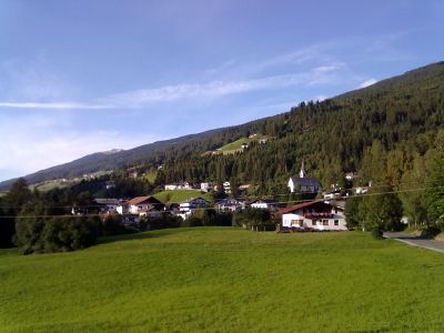
Pfons, cadastral municipality in Matrei am Brenner, former municipality in Austria
Location: Innsbruck-Land District
Location: Matrei am Brenner
Elevation above the sea: 1,043 m
Email: gemeinde@pfons.tirol.gv.at
Website: http://pfons.tirol.gv.at
GPS coordinates: 47.14250,11.46056
Latest update: April 4, 2025 11:45
Burg Trautson
555 m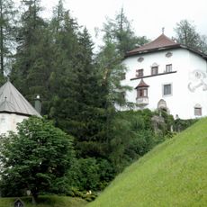
Burg Arnholz
955 m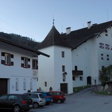
Latschburg
1.1 km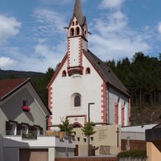
Johanneskapelle
863 m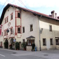
Gasthof zur Uhr
1.2 km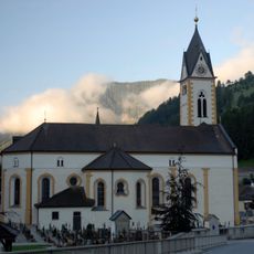
Mariä Himmelfahrt (Pfons)
828 m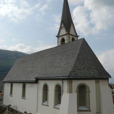
Saint Margaret Church (Pfons)
105 m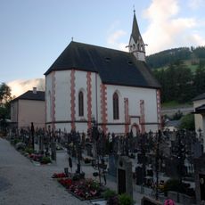
Friedhof mit Kapellen und Kleindenkmalen
804 m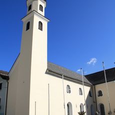
Spitalskirche Hl. Geist
1.6 km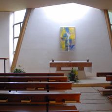
Kapelle Bildungshaus Sankt Michael
746 m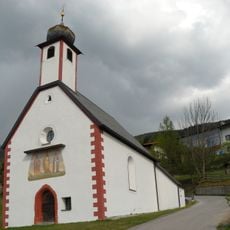
Kath. Filialkirche hl. Nikolaus und Reste des ehem. Friedhofs
790 m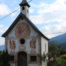
Hofkapelle in Gedeir, Weißlhof-Kapelle
1.8 km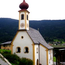
Kath. Filialkirche hll. Peter und Paul und ehem. Friedhofsfläche
1.1 km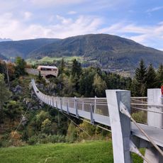
Hängebrücke Mühlbachl–Pfons
478 m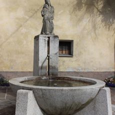
Marienbrunnen
862 m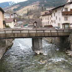
Mühlbachl, Straßenbrücke
884 m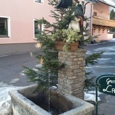
Nepomukbrunnen
1.4 km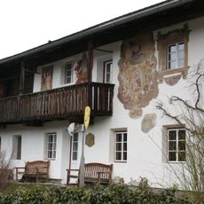
Bauernhaus Glas
860 m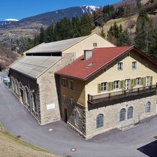
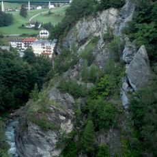
Brennerwerk power station, enginge house
929 m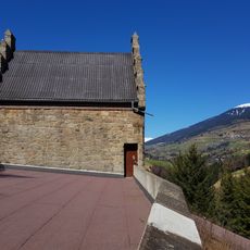
Brennerwerk power station: surge engine
781 m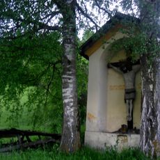
Sog. Samerkreuz
1.6 km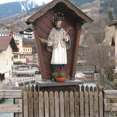
Figurenbildstock hl. Johannes Nepomuk
884 m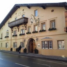
Gasthof Lamm
1.4 km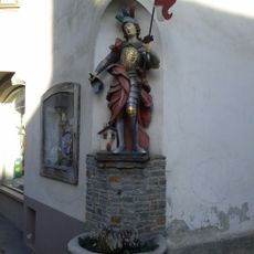
Florianbrunnen
1.3 km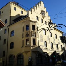
Gemeindeamt
1.3 km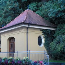
Kriegerdenkmal
1.2 km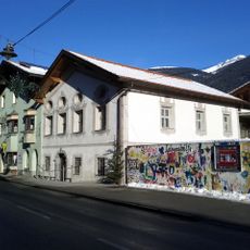
Wohnhaus, ehem. Frühmesserhaus
1.5 km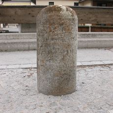
Meilenstein
902 mVisited this place? Tap the stars to rate it and share your experience / photos with the community! Try now! You can cancel it anytime.
Discover hidden gems everywhere you go!
From secret cafés to breathtaking viewpoints, skip the crowded tourist spots and find places that match your style. Our app makes it easy with voice search, smart filtering, route optimization, and insider tips from travelers worldwide. Download now for the complete mobile experience.

A unique approach to discovering new places❞
— Le Figaro
All the places worth exploring❞
— France Info
A tailor-made excursion in just a few clicks❞
— 20 Minutes