
Auberg, municipality in Rohrbach District, Upper Austria, Austria
Location: Rohrbach District
Elevation above the sea: 595 m
Shares border with: Haslach an der Mühl, Sankt Peter am Wimberg, Neufelden, Arnreit, Rohrbach-Berg
Email: gemeinde@auberg.ooe.gv.at
Website: http://auberg.at
GPS coordinates: 48.54444,14.05333
Latest update: April 3, 2025 15:13

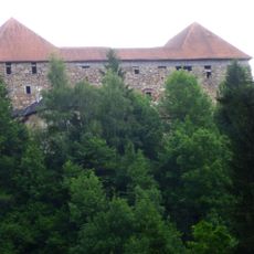
Burg Pürnstein
5.6 km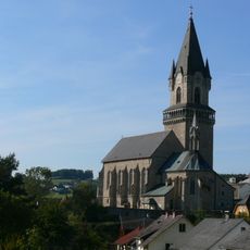
Sankt Nikolaus parish church
3.4 km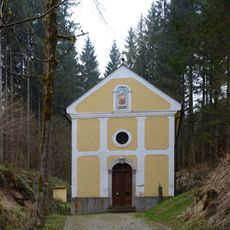
Maria Poetsch
6.2 km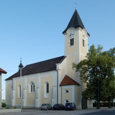
Saint Lawrence church in Arnreit
4.8 km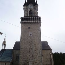
Burg Haslach
3.4 km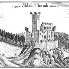
Burgruine Liebenstein (Arnreit)
5.9 km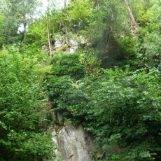
Burgruine Schönberg
1.6 km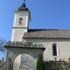
St. Anna in Steinbruch
5 km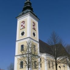
Saint Peter parish church
5.1 km
Burgstall Nößlbach
2.4 km
Burgstall Haglau
1.4 km
Burgstall Erlach
1.6 km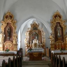
St.Georg in Hollerberg
1.4 km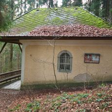
Buchet-Kapelle
3.6 km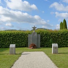
Russenfriedhof Haslach an der Mühl
3.4 km
Ortskapelle
952 m
Auberg - Unterkagererhof
566 m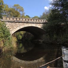
Linzerbrücke
3.1 km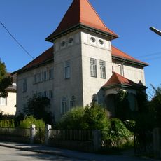
Villa Amerstorfer
3.4 km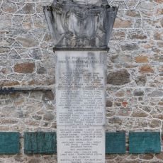
War memorial Haslach
3.5 km
Teil der Marktmauer
3.5 km
Teil der Marktmauer
3.5 km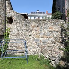
Teil der Marktmauer
3.5 km
Teil der Marktmauer
3.5 km
Teil der Marktmauer
3.5 km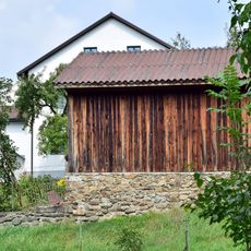
Teil der Marktbefestigung
3.5 km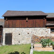
Teil der Marktbefestigung
3.5 km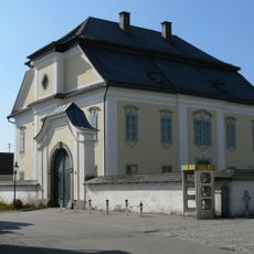
Pfarrhof
5.1 kmReviews
Visited this place? Tap the stars to rate it and share your experience / photos with the community! Try now! You can cancel it anytime.
Discover hidden gems everywhere you go!
From secret cafés to breathtaking viewpoints, skip the crowded tourist spots and find places that match your style. Our app makes it easy with voice search, smart filtering, route optimization, and insider tips from travelers worldwide. Download now for the complete mobile experience.

A unique approach to discovering new places❞
— Le Figaro
All the places worth exploring❞
— France Info
A tailor-made excursion in just a few clicks❞
— 20 Minutes