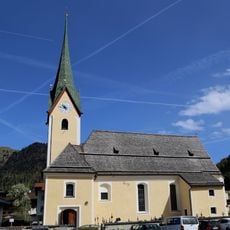
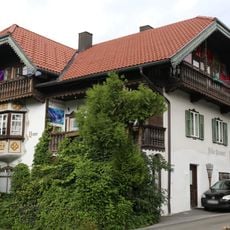
Walchsee, Alpine municipality in Kufstein District, Austria
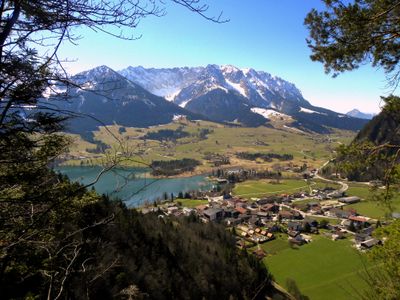
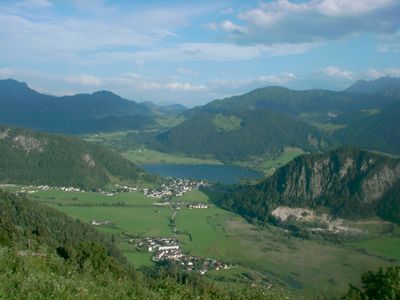
Walchsee is a rural municipality in the Tyrolean Alps positioned between the Kaiser mountain range and a namesake lake. The settlement sits at approximately 658 meters elevation and spans about 39 square kilometers of meadows, forests, and small village centers.
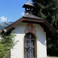
The first written mention of this place appears in 1151 within a papal record, where it was called Walshe. Over centuries, the settlement evolved as an agricultural community shaped by cattle herding and mountain farming.
The place takes its name from the lake at its heart, which shapes how locals and visitors relate to the landscape around them. This connection between water and community defines how the area is experienced and used today.
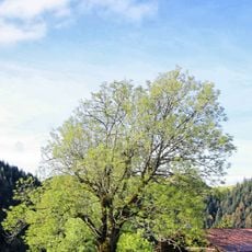
The area invites outdoor activities through hiking paths across forests and meadows, with skiing opportunities in colder months. Visitors can access nature year-round, though spring and summer offer the easiest walking conditions.
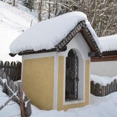
The Schwemm protected area contains one of North Tyrol's most valuable nature reserves with extensive bogs and rare wetland landscapes. This place supports a remarkable variety of dragonfly species that visitors may spot during walks.
Location: Kufstein District
Elevation above the sea: 658 m
Shares border with: Rettenschöss, Ebbs, Kirchdorf in Tirol, Schwendt, Kössen, Schleching, Aschau im Chiemgau
Email: meldeamt@walchsee.tirol.gv.at
Website: https://walchsee.tirol.gv.at
GPS coordinates: 47.65111,12.31861
Latest update: December 7, 2025 10:01
Pyramidenspitze
5.5 km
Vordere Kesselschneid
5.8 km
Stripsenkopf
7.7 km
Feldberg
6.6 km
Pfarrkirche Hl. Johannes der Täufer, Walchsee
80 m
Alm, sogenannte Thalalm
5.2 km
Walchseerhof
82 m
Antoniuskapelle
4.2 km
Bichlkapelle, Schwendt
6.2 km
Ölbergkapelle
431 m
Dorfstraße 26
436 m
Johanneskapelle
337 m
Hechenbichl-Kapelle, Kössen
4.6 km
Bauernhaus mit Backofen, Schwendt
5.7 km
Kramergasse 2
54 m
Gomermarterl, Ebbs
5.6 km
Volksschule Niederbichl, Kössen
4.2 km
Mariahilfkapelle
107 m
Oberbichlerhof
6.2 km
Dorfbrunnen
3.7 km
Lamplkapelle
1.2 km
Pestsäule
301 m
Nepomukbrunnen
18 m
Hubertuskapelle
2.2 km
Herz-Jesu-Kapelle
5 km
Pöttingkapelle
3.1 km
Paxerhof
2.7 km
Schönstattkapelle
4.7 kmVisited this place? Tap the stars to rate it and share your experience / photos with the community! Try now! You can cancel it anytime.
Discover hidden gems everywhere you go!
From secret cafés to breathtaking viewpoints, skip the crowded tourist spots and find places that match your style. Our app makes it easy with voice search, smart filtering, route optimization, and insider tips from travelers worldwide. Download now for the complete mobile experience.
A unique approach to discovering new places❞
— Le Figaro
All the places worth exploring❞
— France Info
A tailor-made excursion in just a few clicks❞
— 20 Minutes