
Pirching am Traubenberg, municipality in Südoststeiermark District, Styria, Austria
Location: Südoststeiermark District
Elevation above the sea: 350 m
Shares border with: Empersdorf
Email: gemeinde@pirching-traubenberg.gv.at
Website: http://pirching-traubenberg.gv.at
GPS coordinates: 46.95621,15.59657
Latest update: March 21, 2025 10:40

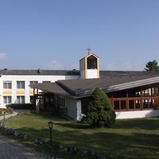
Haus der Stille, Heiligenkreuz am Waasen
4.4 km
Pfarrkirche Allerheiligen bei Wildon
5.6 km
Kapelle Manning
6.8 km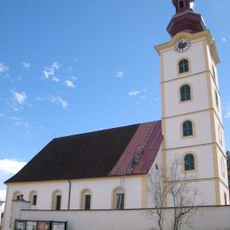
Pfarrkirche Kirchbach in Steiermark
5.6 km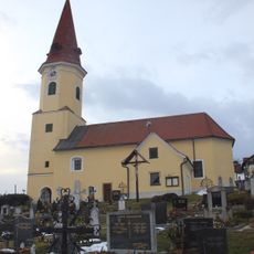
Kath. Filialkirche hl. Ulrich
4.1 km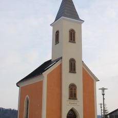
Ortskapelle
3 km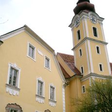
Holy Cross Church
788 m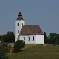
Kath. Filialkirche hl. Anna, Kirchbach in Steiermark
5.9 km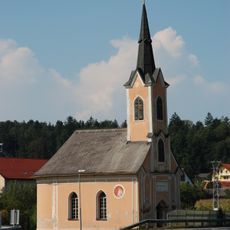
Marienkapelle Zerlach
4.3 km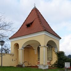
Friedhofskapelle, Palmweihkapelle
4.1 km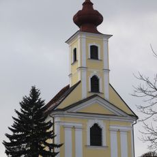
Kalvarienbergkirche Zur Schmerzhaften Mutter
1.2 km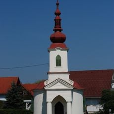
Ortskapelle Mariahilf, Dörfla
6.2 km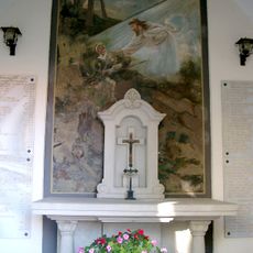
Kriegergedächtniskapelle
5.6 km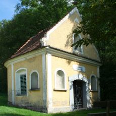
Dreifaltigkeits- bzw. Wiener-Kapelle
777 m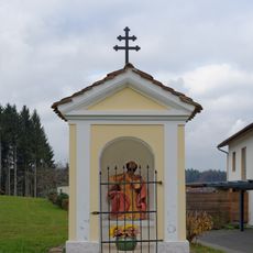
Kalvarienberg, Stationskapelle mit hl. Petrus
1.2 km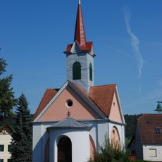
Ortskapelle Glatzau
7.4 km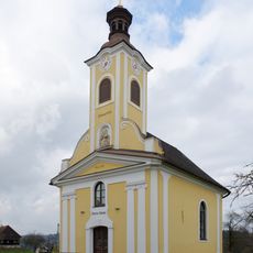
Ortskapelle
2.9 km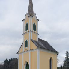
Storch'n-Kapelle
4.7 km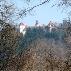
Schloss Herbersdorf
5.9 km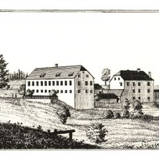
Waldegg castle
7.2 km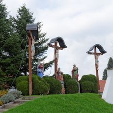
Kalvarienberg/Kreuzweg
1.2 km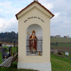
Bildstock
4.1 km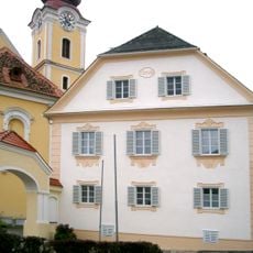
Rectory Heiligenkreuz am Waasen
794 m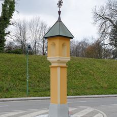
Bildstock
5.8 km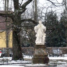
Figurenbildstock hl. Johannes Nepomuk
5.9 km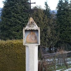
Bildstock Ulrichsbrunnen
4.1 km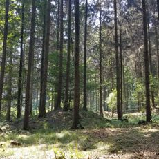
Hügelgräberfeld Feiting
5.1 km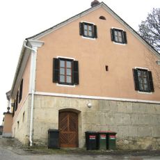
Pfarrhof
5.6 kmReviews
Visited this place? Tap the stars to rate it and share your experience / photos with the community! Try now! You can cancel it anytime.
Discover hidden gems everywhere you go!
From secret cafés to breathtaking viewpoints, skip the crowded tourist spots and find places that match your style. Our app makes it easy with voice search, smart filtering, route optimization, and insider tips from travelers worldwide. Download now for the complete mobile experience.

A unique approach to discovering new places❞
— Le Figaro
All the places worth exploring❞
— France Info
A tailor-made excursion in just a few clicks❞
— 20 Minutes