
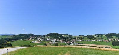
Julbach, municipality in Rohrbach District, Upper Austria, Austria
Location: Rohrbach District
Elevation above the sea: 589 m
Shares border with: Ulrichsberg, Peilstein im Mühlviertel, Nebelberg, Wegscheid, Breitenberg
Email: gemeinde@julbach.ooe.gv.at
Website: http://julbach.ooe.gv.at
GPS coordinates: 48.65889,13.86806
Latest update: March 5, 2025 05:15
Torfau
3.1 km
Obermühle
4.4 km
Baderhaus
3.8 km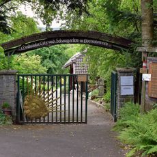
Heilkräutergarten Klaffer am Hochficht
3.9 km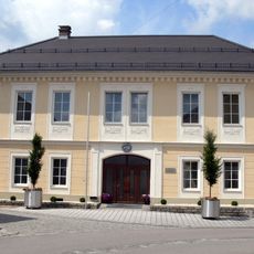
Parochial House Ulrichsberg
3.5 km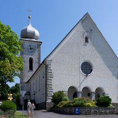
Mary Assumption parish church
4.1 km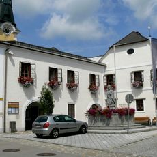
Parochial House Ulrichsberg
3.6 km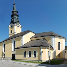
Saint Ulrich church in Ulrichsberg
3.6 km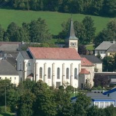
St.Anna (Julbach im Mühlviertel)
124 m
Gmuihäuseln
1.9 km
Steinmüllerbrücke
2.9 km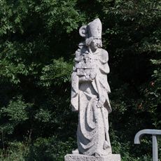
Brückenheiliger an der Steinmüllerbrücke
3 km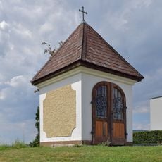
Richterhügel Chapel
3.3 km
Waid
3.1 km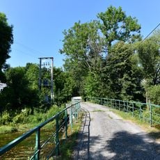
Brücke an der Steinmühle
2.9 km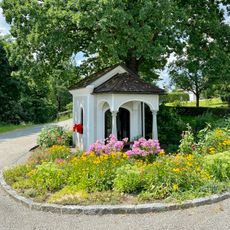
Schaubergerkapelle
3.5 km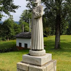
Nicholas of Flüe statue
4 km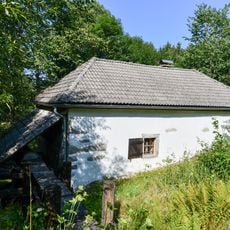
Berdetschläger Mühle
3 km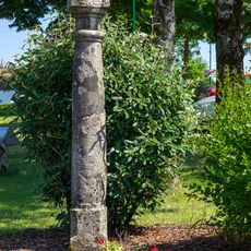
Bildstock
4.1 km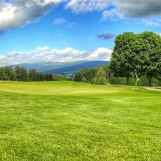
Golfpark Böhmerwald
2.3 km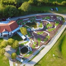
Böhmerwaldpark
2.2 km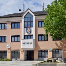
Ulrichsberg Town Hall
3.7 km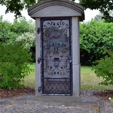
Heimatvertriebenendenkmal
4.1 km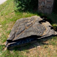
Pechölstein
3.9 km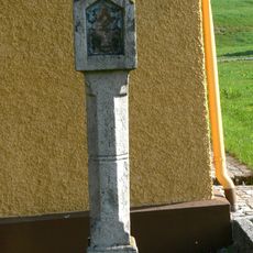
Bildstock
4.1 km
Kapelle Vorderschiffl
2.5 km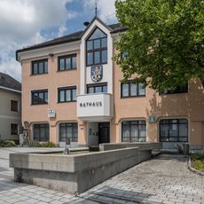
Brunnen vor dem Rathaus Ulrichsberg
3.7 km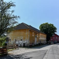
Wohnhaus Anna Sonnleitner
70 mVisited this place? Tap the stars to rate it and share your experience / photos with the community! Try now! You can cancel it anytime.
Discover hidden gems everywhere you go!
From secret cafés to breathtaking viewpoints, skip the crowded tourist spots and find places that match your style. Our app makes it easy with voice search, smart filtering, route optimization, and insider tips from travelers worldwide. Download now for the complete mobile experience.

A unique approach to discovering new places❞
— Le Figaro
All the places worth exploring❞
— France Info
A tailor-made excursion in just a few clicks❞
— 20 Minutes