Mariapfarr, Municipality in Tamsweg district, Austria
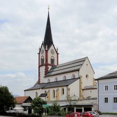
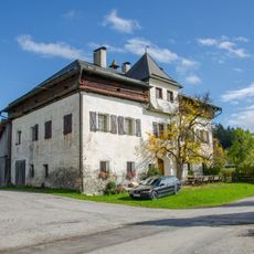
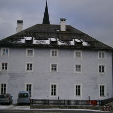
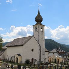
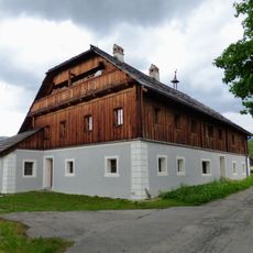
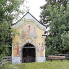
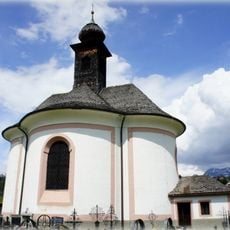
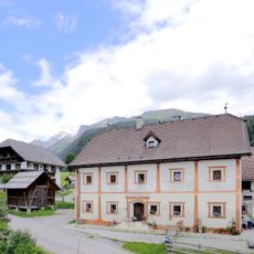
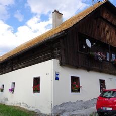
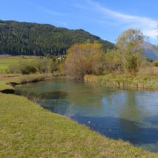
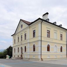
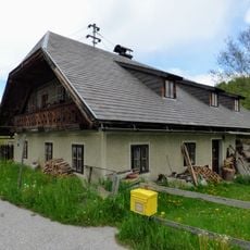
Mariapfarr is a municipality in the Tamsweg district located at 1,119 meters elevation in the Salzburg region. The area spans Alpine territory and is home to approximately 2,500 residents who are served from the municipal center.
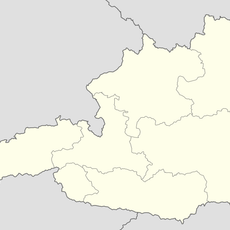
The municipality was established as part of Austria's modern administrative system and has remained part of the Tamsweg district since then. This placement has shaped how local services and governance operate in the region.
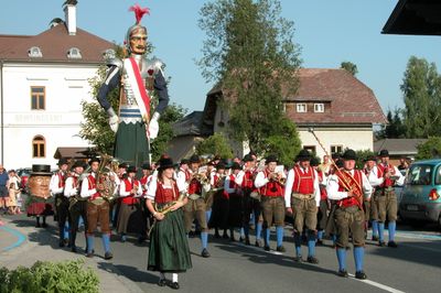
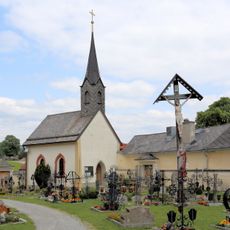
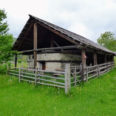
The municipality hosts Samson festivals that bring together residents and visitors throughout the year to celebrate shared traditions. These gatherings show how the community keeps local customs alive in daily life.
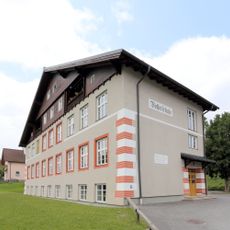
The municipal office at Pfarrstraße 7 is the main point for visitor information and local services. The high elevation means cool temperatures year-round, making walking and outdoor exploration comfortable for most of the year.
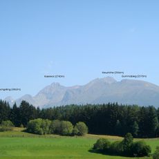
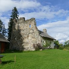
The location sits at a geographical position that shapes its character as an Alpine mountain settlement with distinct climatic conditions. This placement makes it representative of how smaller Salzburg communities adapt to high-altitude environments.
The community of curious travelers
AroundUs brings together thousands of curated places, local tips, and hidden gems, enriched daily by 60,000 contributors worldwide.