
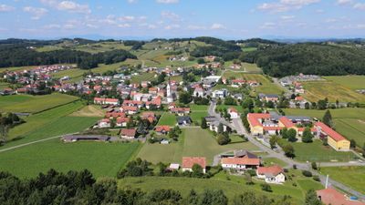
Paldau, municipality in Südoststeiermark District, Styria, Austria
Location: Südoststeiermark District
Elevation above the sea: 309 m
Shares border with: Kirchberg an der Raab
Email: gde@paldau.gv.at
Website: http://paldau.at
GPS coordinates: 46.94065,15.79285
Latest update: March 6, 2025 20:41
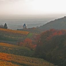
Steirisches Vulkanland
5.3 km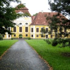
Schloss Kirchberg an der Raab
5.8 km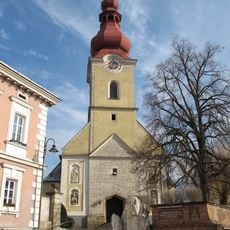
Saint Florian Church
5.7 km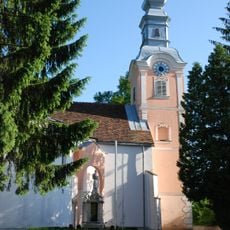
Pfarrkirche Edelsbach
6.4 km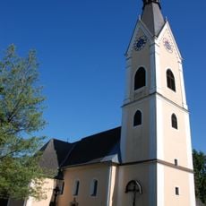
Veitskirche
309 m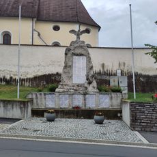
Kriegerdenkmal St. Stefan im Rosental
7.4 km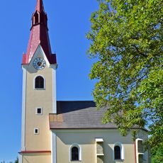
Filialkirche hl. Sebastian am Saazkogel
3.6 km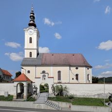
Catholic parish church St. Stephen
7.4 km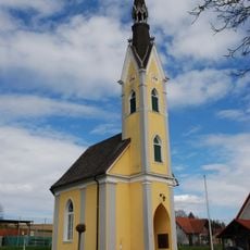
Obergnas, Ortskapelle
5.7 km
Gruftkapelle Familie Lehr
5.1 km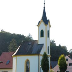
Ortskapelle
6.3 km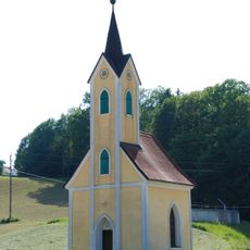
Ortskapelle hl. Maria
2.9 km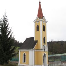
Ortskapelle Hl. Dreifaltigkeit
4.3 km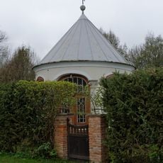
Kapelle der ehem. Heinrichsmühle
6.1 km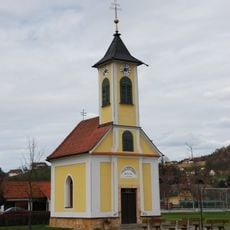
Ortskapelle
3.9 km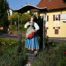
Figurenbildstock hl. Notburga
7.3 km
Hallstattzeitliche Hügelgräber
3.4 km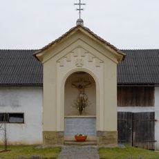
Bildstock, Dorf-Kreuz
5.3 km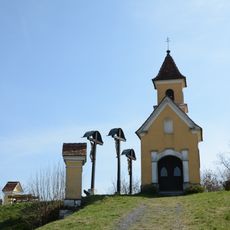
Kalvarienberg Weißenbach
6.4 km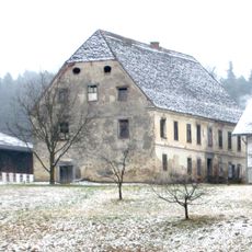
Grieshof
4.7 km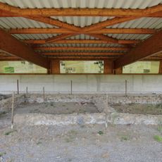
Römerzeitlicher Vicus Saaz
3.5 km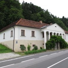
Erzherzog-Johann-Haus mit Wirtschaftsgebäuden
4.7 km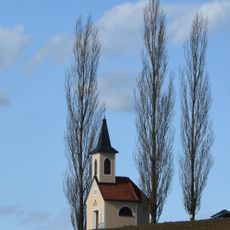
Kapelle am Gniebingberg
6.1 km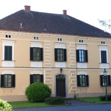
Pfarrhof
242 m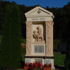
Kriegerdenkmal
6.4 km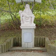
Pietà
5.9 km
Burgstall Rohr
4.4 km
Römisches Hügelgräberfeld
3.7 kmReviews
Visited this place? Tap the stars to rate it and share your experience / photos with the community! Try now! You can cancel it anytime.
Discover hidden gems everywhere you go!
From secret cafés to breathtaking viewpoints, skip the crowded tourist spots and find places that match your style. Our app makes it easy with voice search, smart filtering, route optimization, and insider tips from travelers worldwide. Download now for the complete mobile experience.

A unique approach to discovering new places❞
— Le Figaro
All the places worth exploring❞
— France Info
A tailor-made excursion in just a few clicks❞
— 20 Minutes