
Waidhofen an der Thaya, Administrative center in Lower Austria, Austria
Waidhofen an der Thaya is a town in Lower Austria situated at the border region where Germany and the Czech Republic meet. It serves as the administrative center for its district and sits along the Thaya River valley.
During medieval times, the town emerged as an important trading hub on key North-South commerce routes. This strategic position established its role as a central administrative and commercial settlement for the surrounding area.
The town maintains partnerships with Heubach in Germany and Telč in the Czech Republic, fostering international cultural exchanges through regular community events.
The town is easily accessible via regional roads and has train connections to larger Austrian cities. The town center is walkable with parking available, and the surrounding countryside can be explored on foot or by car.
The area remained a borderland between different territories for centuries, which continues to shape the town's identity today. This cross-border history is visible in the architecture and local customs found throughout the community.
Location: Waidhofen an der Thaya District
Elevation above the sea: 510 m
Shares border with: Pfaffenschlag bei Waidhofen
Email: stadtamt@waidhofen-thaya.gv.at
Website: https://waidhofen-thaya.at
GPS coordinates: 48.81667,15.28333
Latest update: December 7, 2025 19:23

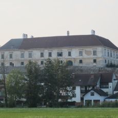
Schloss Waidhofen, Waidhofen a.d. Thaya
482 m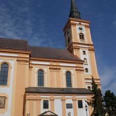
Church in Waidhofen a. d. Thaya
261 m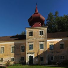
Schloss Vestenötting
1.9 km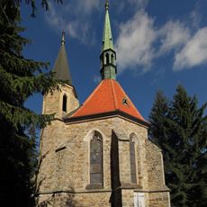
Bründlkapelle
5.3 km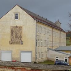
Schloss Dietmanns
7.6 km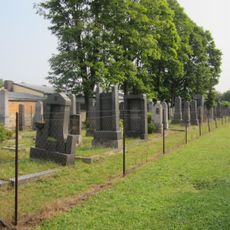
Friedhof, jüdisch in Waidhofen an der Thaya
790 m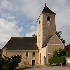
Pfarrkirche Puch, Waidhofen an der Thaya
6.3 km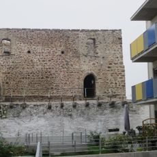
City wall, Waidhofen a. d. Thaya
263 m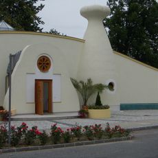
Evangelische Kirche Waidhofen an der Thaya
471 m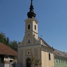
Ortskapelle, Vestenpoppen
2.5 km
Stadtmuseum, Waidhofen a.d. Thaya
186 m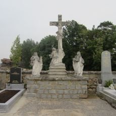
Friedhof christlich
4.5 km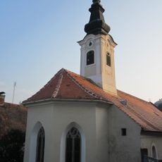
Bürgerspitalkirche Hl.Geist, Waidhofen an der Thaya
452 m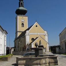
Saints Peter and Paul Church
4.3 km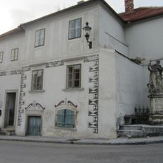
Heimatmuseum, ehem. Freihaus, Waidhofen a. d. Thaya
451 m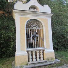
Wegkapelle hl. Johannes Nepomuk, Waidhofen a. d. Thaya
892 m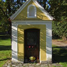
Flur-/Wegkapelle
5.3 km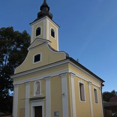
Ortskapelle Hollenbach
4 km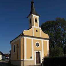
Ortskapelle Mariae Empfängnis
3.7 km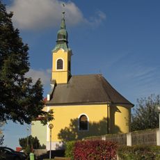
Ortskapelle Dietmanns
7.7 km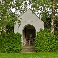
Friedhofskapelle
6.3 km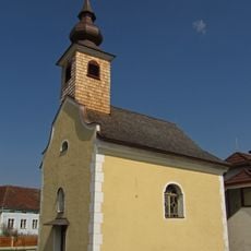
Ortskapelle Großgerharts
2.7 km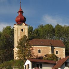
Kath. Filialkirche hl. Anna, ehem. Schlosskapelle
2 km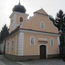
Ortskapelle Ulrichschlag
3.7 km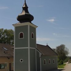
Ortskapelle Mariae Himmelfahrt
3.4 km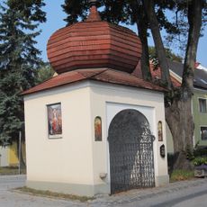
Zwiebelkapelle, Waidhofen a. d. Thaya
414 m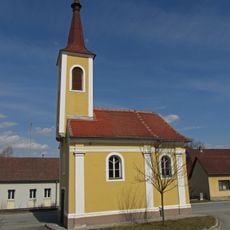
Ortskapelle Götzweis
2.7 km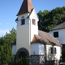
Ortskapelle Lichtenberg
5.5 kmVisited this place? Tap the stars to rate it and share your experience / photos with the community! Try now! You can cancel it anytime.
Discover hidden gems everywhere you go!
From secret cafés to breathtaking viewpoints, skip the crowded tourist spots and find places that match your style. Our app makes it easy with voice search, smart filtering, route optimization, and insider tips from travelers worldwide. Download now for the complete mobile experience.

A unique approach to discovering new places❞
— Le Figaro
All the places worth exploring❞
— France Info
A tailor-made excursion in just a few clicks❞
— 20 Minutes