Enable Location

We need your location to show you interesting places around you

Discover nearby places

Find interesting locations and hidden gems around you

Precise directions

Get accurate directions and distances to places

Your location is never shared with other users. It's only used when you tap the location button.

Waidhofen an der Thaya

Log in to your account

Start exploring — it's free

Trusted by 62,558 travelers worldwide

Continue with Google
Continue with Apple
or

We will send you a code to connect

By continuing, you accept our Terms and Conditions and our Privacy Policy

Check your inbox

We've sent a pincode in your inbox. Please enter the code below.

Waidhofen an der Thaya, Administrative center in Lower Austria, Austria

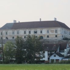
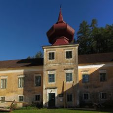
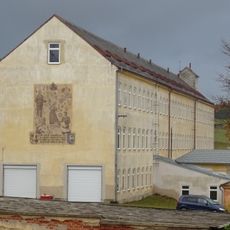
Waidhofen an der Thaya is a town in Lower Austria situated at the border region where Germany and the Czech Republic meet. It serves as the administrative center for its district and sits along the Thaya River valley.

During medieval times, the town emerged as an important trading hub on key North-South commerce routes. This strategic position established its role as a central administrative and commercial settlement for the surrounding area.

The town maintains partnerships with Heubach in Germany and Telč in the Czech Republic, fostering international cultural exchanges through regular community events.

The town is easily accessible via regional roads and has train connections to larger Austrian cities. The town center is walkable with parking available, and the surrounding countryside can be explored on foot or by car.

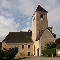
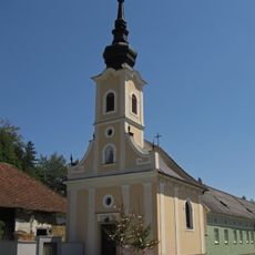
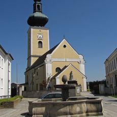
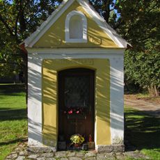
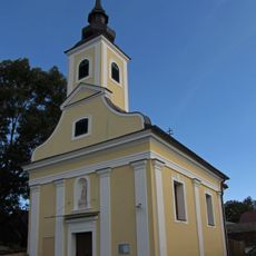
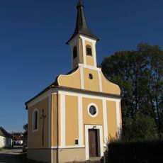
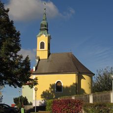
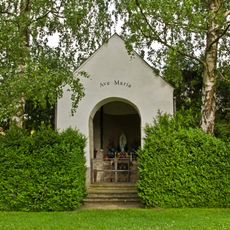
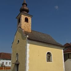
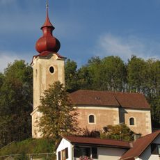
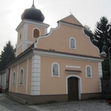
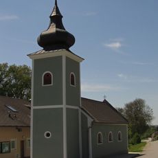
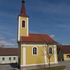
The area remained a borderland between different territories for centuries, which continues to shape the town's identity today. This cross-border history is visible in the architecture and local customs found throughout the community.

The community of curious travelers

AroundUs brings together thousands of curated places, local tips, and hidden gems, enriched daily by 60,000 contributors worldwide.

Start exploring
Elevation above the sea
510 m
Shares border with
Pfaffenschlag bei Waidhofen
GPS coordinates
48.81667,15.28333
Latest update
December 7, 2025 19:23
« Waidhofen an der Thaya - Administrative center in Lower Austria, Austria » is provided by Around Us (aroundus.com). Images and texts are derived from Wikimedia project under a Creative Commons license. You are allowed to copy, distribute, and modify copies of this page, under the conditions set by the license, as long as this note is clearly visible.

Discover hidden gems everywhere you go!

From secret cafés to breathtaking viewpoints, skip the crowded tourist spots and find places that match your style. Our app makes it easy with voice search, smart filtering, route optimization, and insider tips from travelers worldwide. Download now for the complete mobile experience.

Around Us App Screenshot

A unique approach to discovering new places

Le Figaro

All the places worth exploring

France Info

A tailor-made excursion in just a few clicks

20 Minutes

Around Us
Travel Guide & Maps
Download

Send to your phone

QR Code
1

Open the camera app on your mobile.

2

Point at the QR code with your camera. A notification will appear.

3

Tap the notification to open the link.