
Rohrberg, municipality in Schwaz District, Tyrol, Austria
Location: Schwaz District
Elevation above the sea: 675 m
Shares border with: Aschau im Zillertal
Email: amtsleiter@rohrberg.tirol.gv.at
Website: http://rohrberg.tirol.gv.at
GPS coordinates: 47.23750,11.89889
Latest update: March 7, 2025 23:53

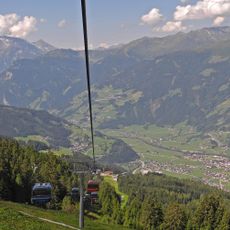
Rosenalmbahn
54 m
Wallfahrtskirche Maria Rast
1.6 km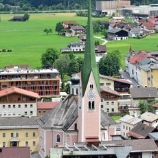
Pfarrkirche hl. Veit, Zell am Ziller
1.4 km
Fotopunkt Arena Stadl
5.6 km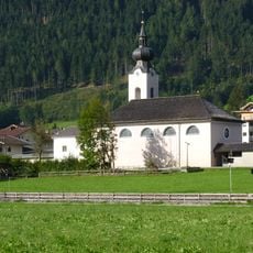
Kath. Pfarrkirche Maria zum Siege, Aschau im Zillertal
3 km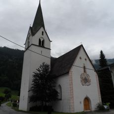
Kath. Filialkirche hl. Leonhard in Distelberg
2.5 km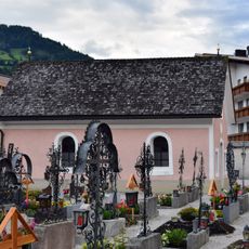
Cemetery Zell am Ziller
1.3 km
Arena Coaster
99 m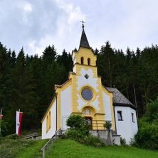
Kapelle Herz Jesu
1.9 km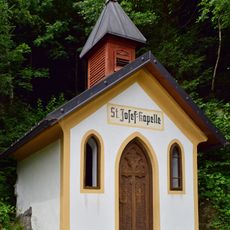
St-Josef-Kapelle
1.6 km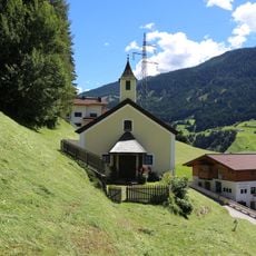
Ortskapelle Gerlosberg
1.3 km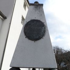
Kaiserdenkmal
1.5 km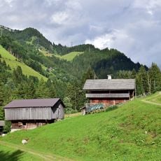
Bauernhaus Brennstall
4.3 km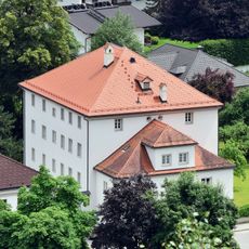
Bezirksgericht Zell am Ziller
1.5 km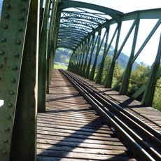
Zeller Eisenbahnbrücke, Zillertalbahn
651 m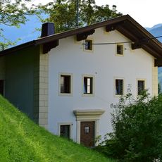
Gasthaus Maria Rast/ehem. Pilgerhaus
1.6 km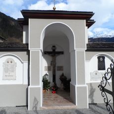
War memorial Zell am Ziller
1.3 km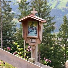
Kreuzweg zur Wallfahrtskirche Maria Rast
1.7 km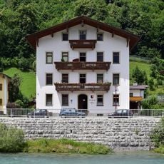
Gemeindeamt Zellberg
1.6 km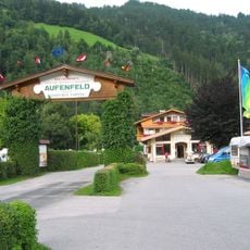
Camping Aufenfeld
3 km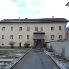
Pfarrhaus Zell am Ziller
1.3 km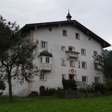
Schlossgasthof Thurnbach
2.4 km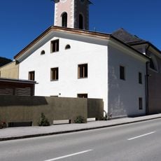
Widum, Aschau im Zillertal
3 km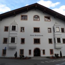
Alte Schule
1.4 km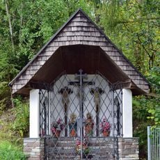
Bildstock an der Gerlosbrücke
1.4 km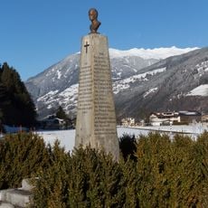
Denkmal Klausnereck
846 m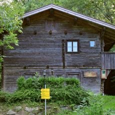
Alte Schule Unterberg
1.6 km
Zeller Eisenbahnbrücke (Zillertalbahn)
641 mReviews
Visited this place? Tap the stars to rate it and share your experience / photos with the community! Try now! You can cancel it anytime.
Discover hidden gems everywhere you go!
From secret cafés to breathtaking viewpoints, skip the crowded tourist spots and find places that match your style. Our app makes it easy with voice search, smart filtering, route optimization, and insider tips from travelers worldwide. Download now for the complete mobile experience.

A unique approach to discovering new places❞
— Le Figaro
All the places worth exploring❞
— France Info
A tailor-made excursion in just a few clicks❞
— 20 Minutes