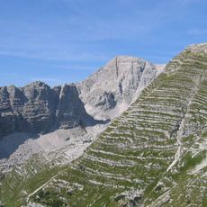
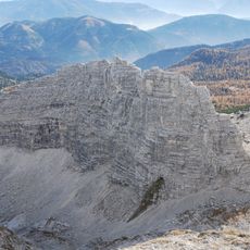
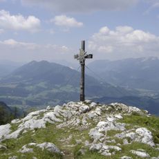
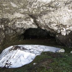
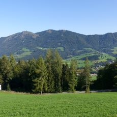
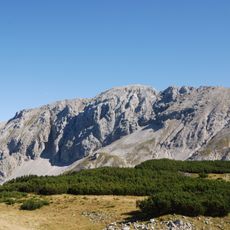
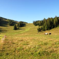
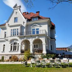
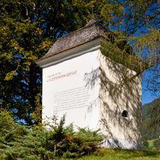
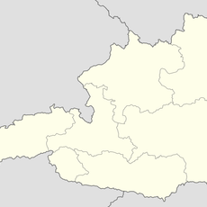
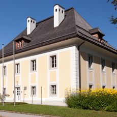
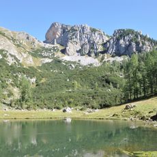
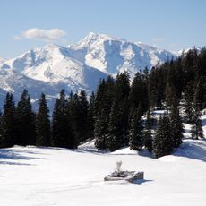
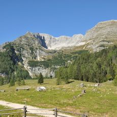
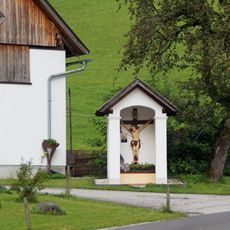
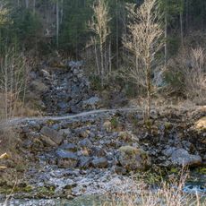
Vorderstoder, municipality in Kirchdorf District, Upper Austria, Austria
Location: Kirchdorf District
Elevation above the sea: 810 m
Shares border with: Sankt Pankraz, Roßleithen, Spital am Pyhrn, Liezen, Hinterstoder
Email: gemeinde@vorderstoder.ooe.gv.at
Website: http://vorderstoder.ooe.gv.at
GPS coordinates: 47.71250,14.22528
Latest update: March 2, 2025 21:03
Warscheneck
6.8 km
Strombodingwasserfall
4.4 km
Ramesch
7 km
Kreidelucke
4.6 km
Seespitz
6.8 km
Ramesch cave
6.9 km
Tamberg
2.8 km
Saint Leopold III Church
90 m
Pfarrkirche Hinterstoder
5.5 km
Pyhrner Kampl
7.4 km
Steyrsbergerreith
3.3 km
Huttereralm
5.9 km
Villa Schröckenfux, Roßleithen
4 km
Filzmoserkapelle
1.2 km
Reitbauern-Kapelle
5.5 km
Friedhofskapelle
5.5 km
Warscheneck Nord
5.9 km
Oberes Rottal
6.9 km
Kriegerdenkmal
5.5 km
Pfarrhof
5.6 km
Pfarrhof
144 m
Glöcklteich
4.2 km
Warscheneck-Süd - Frauenkar und Warscheneck-Süd - Purgstall - Brunnsteiner Kar
7.1 km
Toter Mann
6.6 km
Brunnsteiner Kar
7 km
Zwei Sommerlinden bei der Schule von Roßleithen
4.1 km
Bildstock Trinklergut
3.9 km
Schwarzbach bei Hinterstoder
4.8 kmReviews
Visited this place? Tap the stars to rate it and share your experience / photos with the community! Try now! You can cancel it anytime.
Discover hidden gems everywhere you go!
From secret cafés to breathtaking viewpoints, skip the crowded tourist spots and find places that match your style. Our app makes it easy with voice search, smart filtering, route optimization, and insider tips from travelers worldwide. Download now for the complete mobile experience.
A unique approach to discovering new places❞
— Le Figaro
All the places worth exploring❞
— France Info
A tailor-made excursion in just a few clicks❞
— 20 Minutes