Warscheneck, Mountain summit in Upper Austria, Austria.
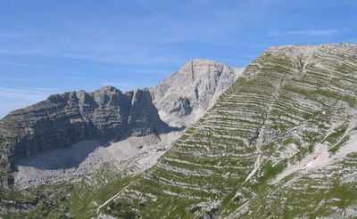
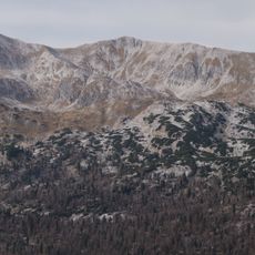
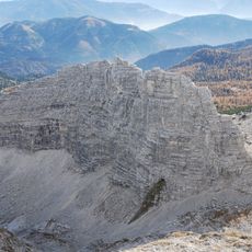
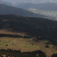
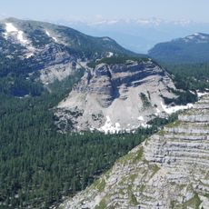
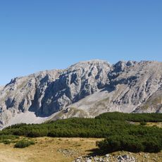
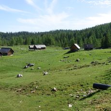
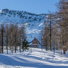
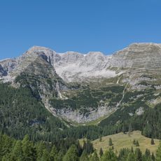
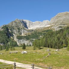
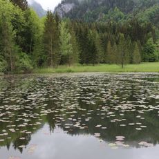
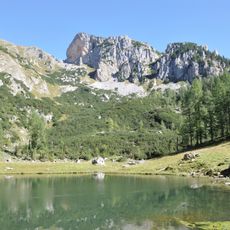
Warscheneck is a mountain summit in the Tote Gebirge range located on the border between Upper Austria and Styria, rising to around 2,400 meters. The peak features steep rocky sections and grassy alpine meadows that flourish with verdant growth during summer months.
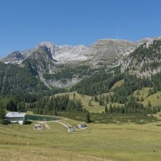
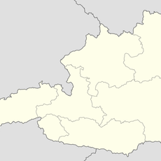
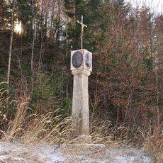
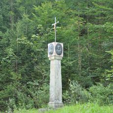
This peak has marked the boundary between Upper Austria and Styria for centuries, serving as a natural border line of regional significance. Traditional alpine pasturing developed in the surrounding valleys over generations and remains important to the local way of life.
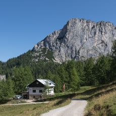
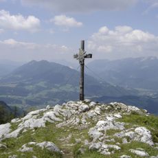
The summit serves as a gathering point for hikers from surrounding areas who stop to rest and take in the views. Simple mountain huts nearby offer drinks and refreshments to visitors spending time at the peak.
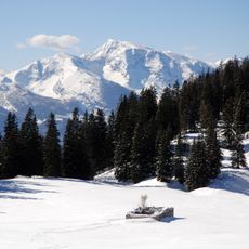
The climb is best done early in the day or late afternoon to avoid hiking during peak heat, as conditions can be demanding on exposed slopes. Weather changes quickly at this elevation, so bring waterproof layers and sturdy mountain boots to stay safe and comfortable.
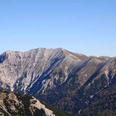
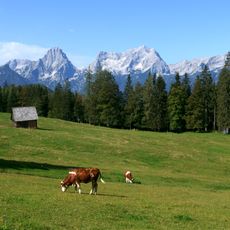
On clear days, the view from the top extends far enough to see the Hochschwab mountain range in the distance, revealing the vast scale of the Alpine landscape. These distant vistas are particularly striking in early morning light when the sun highlights the far ridges.
The community of curious travelers
AroundUs brings together thousands of curated places, local tips, and hidden gems, enriched daily by 60,000 contributors worldwide.