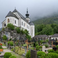
Wurzeralm, Protected mountain area in Spital am Pyhrn, Austria
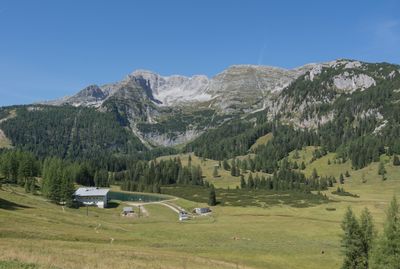
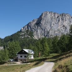
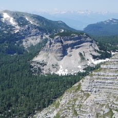
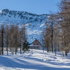
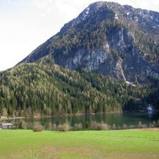
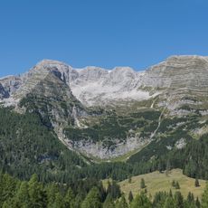
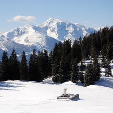
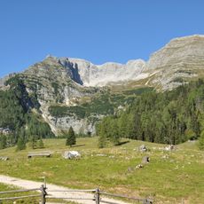
Wurzeralm is a mountain pasture and protected area near Spital am Pyhrn that spans between 810 and 1,870 meters in elevation. The landscape features rolling meadows, 22 kilometers of walking paths, and one of the largest high alpine moors in the Eastern Alps.
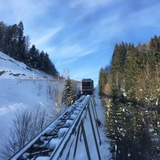
The area was developed as a tourist destination through the installation of a modern cable car system that made the higher elevations accessible. This infrastructure transformed it into a popular hiking destination during the summer months.
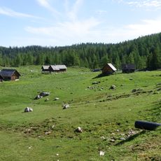
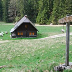
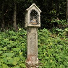
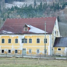
The name references the traditional alpine dairy farming heritage that has shaped this region for centuries, with herders grazing cattle and sheep across the meadows. You can still encounter livestock dotting the pastures and observe the daily rhythms of mountain agriculture.
Access is available by public transport via the ÖBB-Postbus line 911 or by car with ample parking available. The area is best visited for walking from June through October, with limited weekend access also in May.
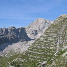
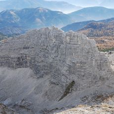
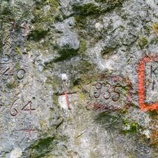
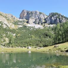
The circular walking route '2 Million Years in 2 Hours' takes hikers through different rock formations that display the geological story of the region. The path concludes at Brunnensteiner Lake, a quiet mountain lake nestled within the pasture landscape.
The community of curious travelers
AroundUs brings together thousands of curated places, local tips, and hidden gems, enriched daily by 60,000 contributors worldwide.