Ramesch, Mountain summit in Upper Austria, Austria
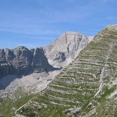
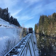
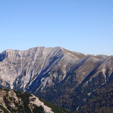
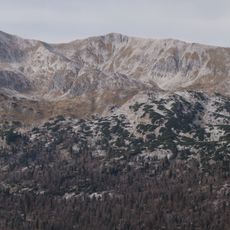
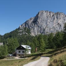
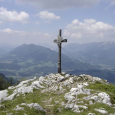
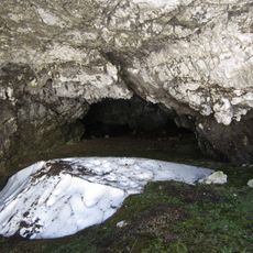
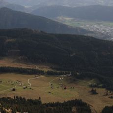
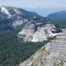
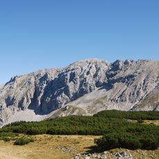
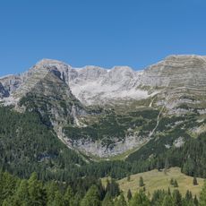
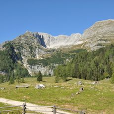
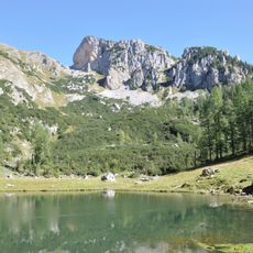
Ramesch is a narrow, double-peaked mountain, 2119 m above sea level, between the Frau enkar and Brunnsteinerkar cirques at the foot of the Warscheneck in Upper Austria. Its west summit is a few metres lower than the east summit; seen from the Frauenscharte it resembles a dolomite tower. At the base of its north wall lies the Ramesch-Knochenhöhle cave, and at the southern foot stands the top station of the Frauenkarlift in the Wurzeralm ski area.
The name Ramesch has been interpreted in different ways: historian Hans Krawarik derived it from Slavic ramitsch, meaning a cleared forest patch, while Slavist Brigitta Mader and Gisbert Rabeder linked it to Latin eremus, a lonely or remote mountain. The 2119 m double summit appears in the Alpine Club guide Totes Gebirge by Gisbert Rabeder (2005 edition).
The name Ramesch has two proposed origins: historian Hans Krawarik derived it from a Slavic term for a forest clearing, while Slavist Brigitta Mader and Gisbert Rabeder linked it to Latin eremus, "lonely, deserted", meaning a remote, solitary mountain. No marked paths lead to the summit; the east ridge (II) and west ridge (I) are described in climbing literature.
There are no marked paths to the summit; the described routes are the east ridge (grade II) and west ridge (grade I), plus climbing routes of grade III to V+ in the northeast face. The Frauenscharte is the usual starting point, and the Frauenkarlift of the Wurzeralm ski area ends at the southern foot of the mountain.
The Ramesch has two summits: the east summit is a few metres higher than the west one. Seen from the Frauenscharte, its shape recalls a dolomite tower. At the base of the north face lies the Ramesch-Knochenhöhle, a cave whose name refers to bones.
The community of curious travelers
AroundUs brings together thousands of curated places, local tips, and hidden gems, enriched daily by 93,466 contributors worldwide.