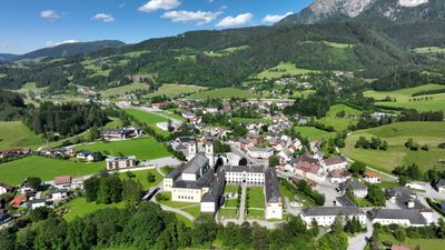
Spital am Pyhrn, municipality in Kirchdorf District, Upper Austria, Austria
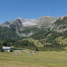
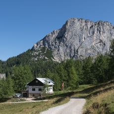
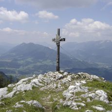
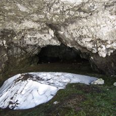
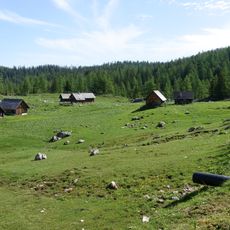
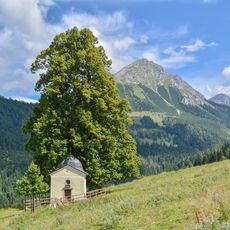
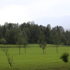
Spital am Pyhrn is a rural municipality in the Kirchdorf District of Upper Austria, situated in the upper part of the Pyhrn pass valley. The surrounding terrain includes dense forests, alpine pastures, and several small lakes, bordered by the Sengsengebirge to the north and the Warscheneck massif to the south.
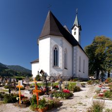
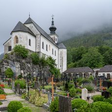
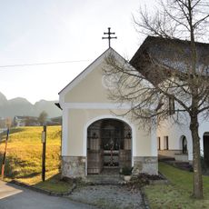
The settlement grew in the Middle Ages as a stopping point for travelers and pilgrims crossing the Pyhrn pass heading south. The Augustinian monastery, founded in the early 13th century, shaped the development of the community over several centuries.
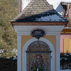
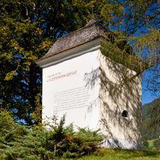
The name Spital refers to a hospital or hospice, a place where travelers and pilgrims once stopped to rest on their way through the Pyhrn pass. Today, the Augustinian monastery church still stands at the center of the village and remains a working place of worship that draws visitors from across the region.
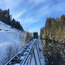
The village works well as a base for hiking in the Sengsengebirge or on the Warscheneck massif, with marked trails accessible from the center. In winter the area is popular for ski touring, while summer brings better conditions for walking and cycling along the valley roads.
The Bosruck road tunnel, which opened in 1983, was the longest road tunnel in Austria at the time and runs directly beneath the pass. Its opening changed the flow of traffic through the valley and shifted the role of the village from a busy transit stop to a quieter destination.
The community of curious travelers
AroundUs brings together thousands of curated places, local tips, and hidden gems, enriched daily by 60,000 contributors worldwide.