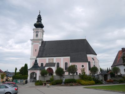
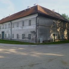
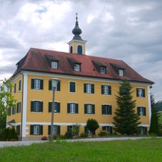
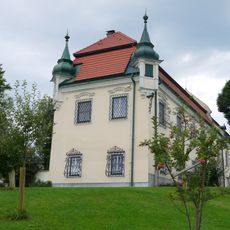
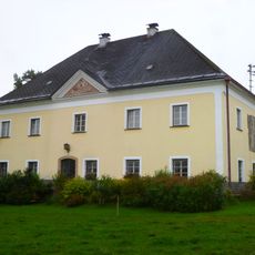
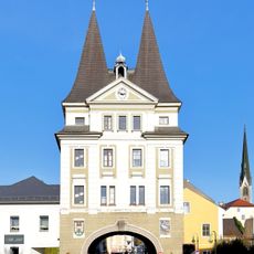
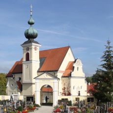
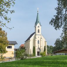
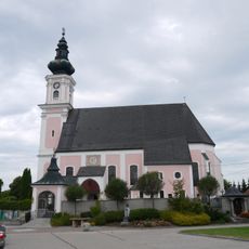
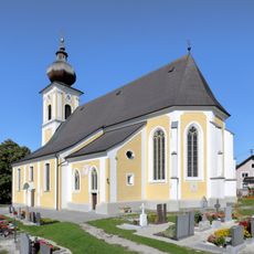
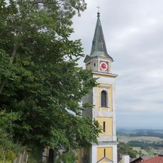
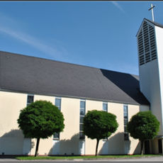
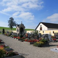
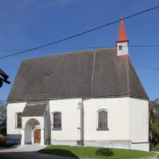
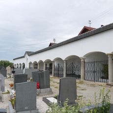
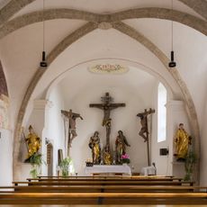
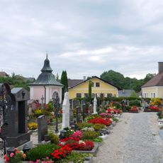
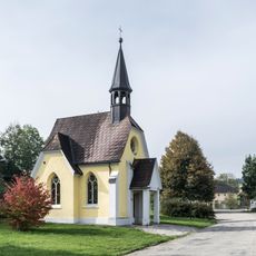
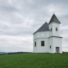
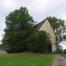
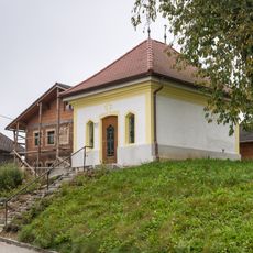
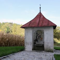
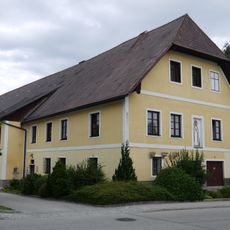
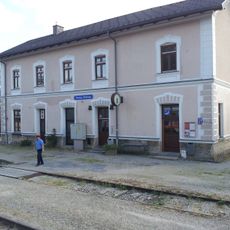
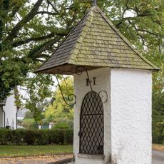
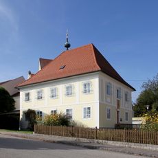
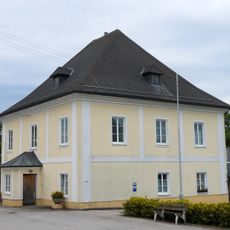
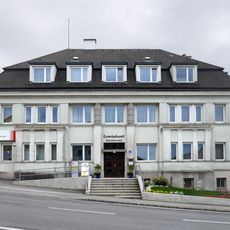
Atzbach, municipality in Vöcklabruck District, Upper Austria, Austria
Location: Vöcklabruck District
Elevation above the sea: 464 m
Shares border with: Niederthalheim, Oberndorf bei Schwanenstadt, Pitzenberg, Rutzenham, Manning, Upper Austria, Wolfsegg am Hausruck
Email: gemeinde@atzbach.ooe.gv.at
Website: http://atzbach.ooe.gv.at
GPS coordinates: 48.08500,13.70361
Latest update: March 2, 2025 21:08
Schloss Wolfsegg
3.4 km
Schloss Köppach
1.5 km
Schloss Aigen, Atzbach
780 m
Schloss Katzenberg
1.1 km
Stadtturm Schwanenstadt
6.2 km
Saint Margaret of Antioch Church
5 km
Expositurkirche Bach
3.4 km
Atzbach Parish Church
90 m
Pfarrkirche Ottnang am Hausruck
3.1 km
Pfarrkirche Wolfsegg am Hausruck
3.3 km
Christus-Kirche
6.2 km
Friedhof christlich
5 km
Kath. Filialkirche Hl. Kreuz und ehem. Friedhofsfläche
3.7 km
Friedhof Ottnang am Hausruck
3 km
Calvary church Philippsberg
5.7 km
Friedhof mit Mauer und Torbau
90 m
Hofkapelle, Wattmayr-Kapelle
3.5 km
Kapelle hl. Maria, Auersperg´sche Gruftkapelle
1.6 km
Jakobskapelle, ehem. Schlosskapelle St. Jakob
1.4 km
Gemeindekapelle
2.1 km
Brunnenhaus
3.8 km
Ottnangien von Wolfsegg
3.3 km
Pfarrhof
87 m
Station building of Ottnang-Wolfsegg railway station
3.1 km
Kreuzwegstation Nr. 4 und Nr. 5
5.9 km
Pfarrhof
5 km
Pfarrhof
3.3 km
Gemeindeamt
3.3 kmReviews
Visited this place? Tap the stars to rate it and share your experience / photos with the community! Try now! You can cancel it anytime.
Discover hidden gems everywhere you go!
From secret cafés to breathtaking viewpoints, skip the crowded tourist spots and find places that match your style. Our app makes it easy with voice search, smart filtering, route optimization, and insider tips from travelers worldwide. Download now for the complete mobile experience.
A unique approach to discovering new places❞
— Le Figaro
All the places worth exploring❞
— France Info
A tailor-made excursion in just a few clicks❞
— 20 Minutes