
Kirchschlag, municipality in Zwettl District, Lower Austria, Austria
Location: Zwettl District
Elevation above the sea: 820 m
Shares border with: Ottenschlag, Kottes-Purk, Raxendorf, Pöggstall, Martinsberg
Email: office@kirchschlag.gv.at
Website: http://kirchschlag.gv.at
GPS coordinates: 48.38333,15.21667
Latest update: March 4, 2025 12:03
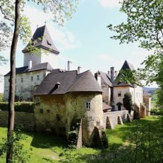
Schloss Pöggstall
7.4 km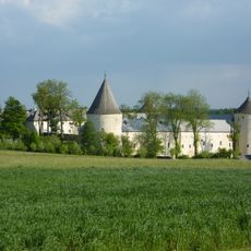
Schloss Ottenschlag
4.7 km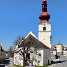
Pfarrkirche Ottenschlag
4.5 km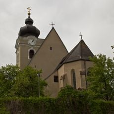
Pfarrkirche Kottes
7.4 km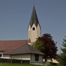
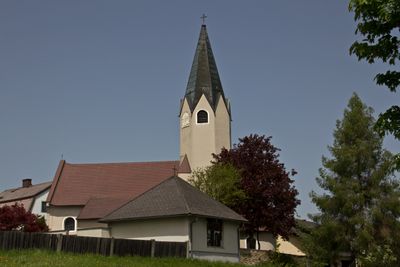
Pfarrkirche Kirchschlag
995 m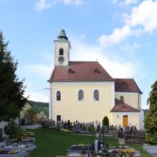
Pfarrkirche Raxendorf
6.7 km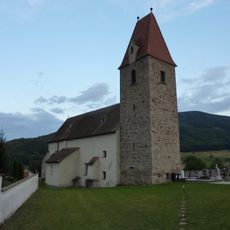
Kath. Filialkirche hl. Ulrich und Friedhof
7.4 km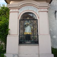
Kapellenbildstock hl. Johannes Nepomuk-Kapelle
7.4 km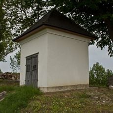
Feldkapelle
8 km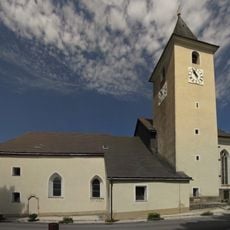
Kath. Pfarrkirche hl. Martin
5 km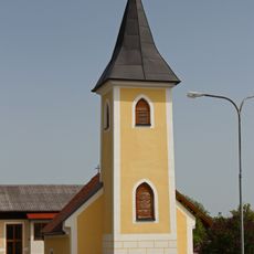
Ortskapelle Schneeberg
2.9 km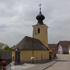
Ortskapelle Elsenreith
4.9 km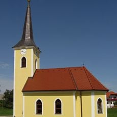
Ortskapelle hl. Anna
5.4 km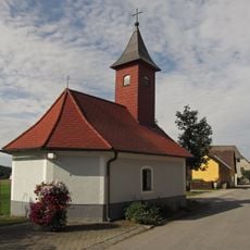
Ortskapelle Roggenreith
2.2 km
Kornmetzen Kottes
7.3 km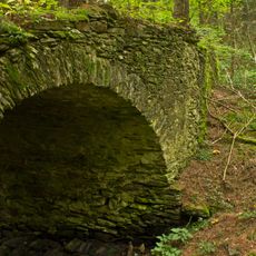
Fürnbergsche Poststraße
5.9 km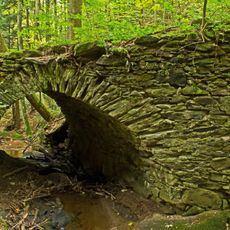
Fürnberg´sche Poststraße (Abschnitt in Aschelberg) und Schwedenbrücke
5.9 km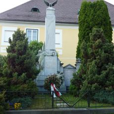
Kriegerdenkmal
7.3 km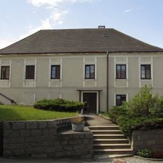
Pfarrhof
5 km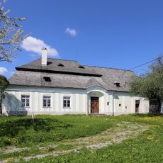
Forstamtsgebäude
4.4 km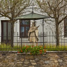
Figurenbildstock hl. Johannes Nepomuk
7.3 km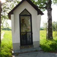
Figurenbildstock hl. Johannes Nepomuk Ottenschlag
4.6 km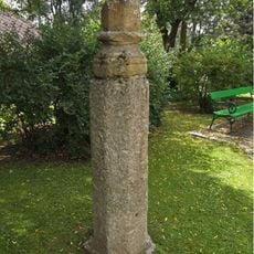
Pranger und Madonnenfigur Martinsberg
5 km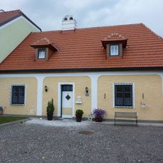
Pfarrhof
7.4 km
Fürnberg´sche Poststraße (Abschnitt in der KG Aschelberg)
3.7 km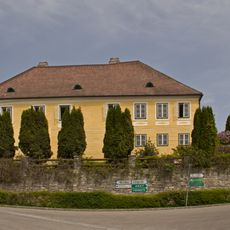
Pfarrhof
7.3 km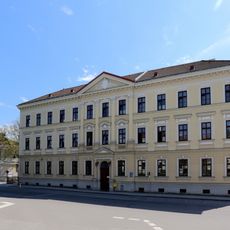
Miethaus, ehem. Bezirkshauptmannschaft
7.3 km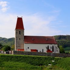
Kirchhofmauer
7.4 kmVisited this place? Tap the stars to rate it and share your experience / photos with the community! Try now! You can cancel it anytime.
Discover hidden gems everywhere you go!
From secret cafés to breathtaking viewpoints, skip the crowded tourist spots and find places that match your style. Our app makes it easy with voice search, smart filtering, route optimization, and insider tips from travelers worldwide. Download now for the complete mobile experience.

A unique approach to discovering new places❞
— Le Figaro
All the places worth exploring❞
— France Info
A tailor-made excursion in just a few clicks❞
— 20 Minutes