
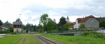
Langschlag, municipality in Zwettl District, Lower Austria, Austria
Location: Zwettl District
Elevation above the sea: 765 m
Shares border with: Bad Großpertholz
Email: gemeinde@langschlag.gv.at
Website: http://langschlag.gv.at
GPS coordinates: 48.57778,14.88472
Latest update: April 21, 2025 06:43
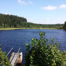
Tanner Moor
7.9 km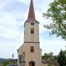
Pfarrkirche hl. Bartholomäus Bad Großpertholz
7.2 km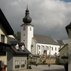
Pfarrkirche Liebenau (Oberösterreich)
7.6 km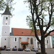
Pfarrkirche Langschlag
250 m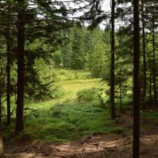
Richterbergau
9 km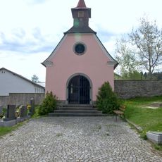
Friedhofskapelle Langschlag
472 m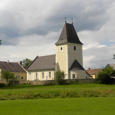
Pfarrkirche hl. Nikolaus
3.3 km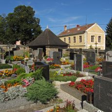
Friedhof christlich
3.3 km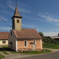
Ortskapelle Nonndorf
3.9 km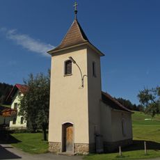
Ortskapelle Häuslern
3.8 km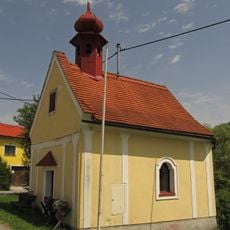
Ortskapelle Wachtberg
5.4 km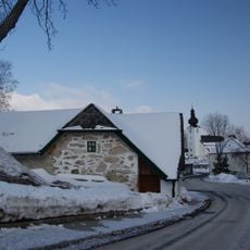
Handwerkerhaus Liebenau
7.8 km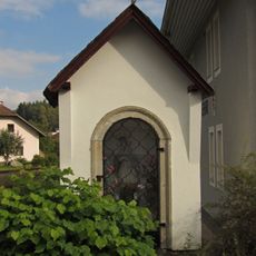
Johannes Nepomuk-Kapelle
397 m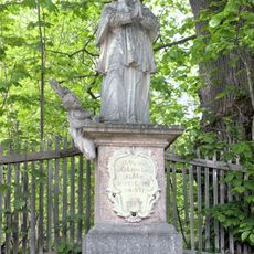
Figurenbildstock hl. Johannes Nepomuk
7.2 km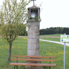
Tabernakelbildstock Kasbach
1.4 km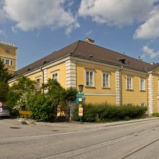
Schloss Großpertholz
7.2 km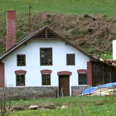
Schmiedehammer
795 m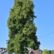
Kapellenlinde in Liebenau
7.4 km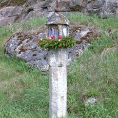
Pfeilerbildstock Langschlag
727 m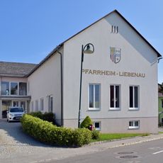
Pfarrheim Liebenau
7.6 km
Harruck - Klauskapelle
3.6 km
Wurzelhof Langschlag
271 m
Pfarrhof
3.3 km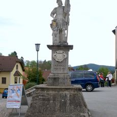
Figurenbildstock hl. Florian
7.2 km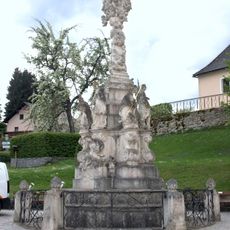
Pest- und Dreifaltigkeitssäule Bad Großpertholz
7.2 km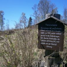
Viereckschanze Liebenau
6.9 km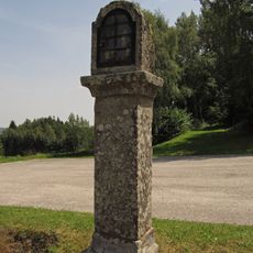
Bildstock
6.8 km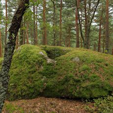
Opferstein ("Offering stone") near Langschlag
399 mReviews
Visited this place? Tap the stars to rate it and share your experience / photos with the community! Try now! You can cancel it anytime.
Discover hidden gems everywhere you go!
From secret cafés to breathtaking viewpoints, skip the crowded tourist spots and find places that match your style. Our app makes it easy with voice search, smart filtering, route optimization, and insider tips from travelers worldwide. Download now for the complete mobile experience.

A unique approach to discovering new places❞
— Le Figaro
All the places worth exploring❞
— France Info
A tailor-made excursion in just a few clicks❞
— 20 Minutes