Bad Häring, Spa municipality in Kufstein district, Austria
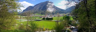
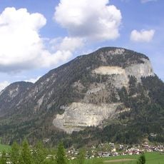
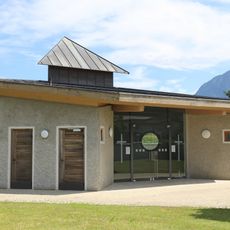
Bad Häring sits on a sunny plateau at 650 meters elevation across 9.27 square kilometers in the Kufsteinerland region of North Tyrol. The town offers specialized health centers, an outdoor swimming pool called Plitsch Platsch, and cross-country ski trails for winter activities.
The settlement began as a brown coal mining community in the 18th century before transforming after sulfur springs were discovered in 1951. The springs became the foundation for developing health facilities and led to official spa status in 1996.
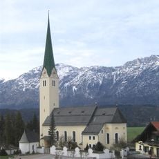
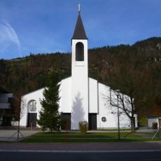
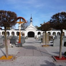
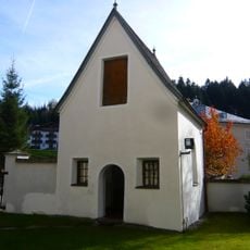
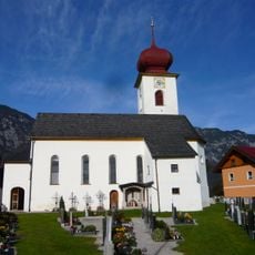
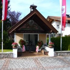
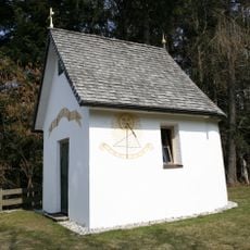
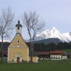
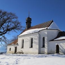
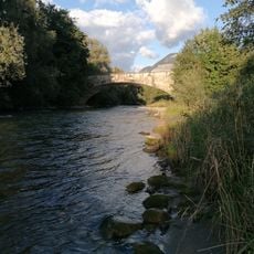
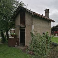
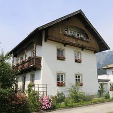
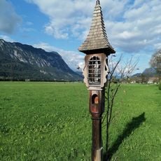
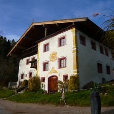
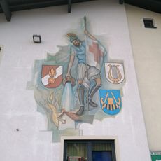
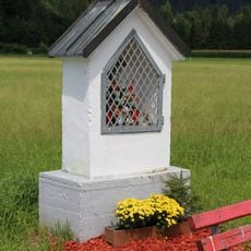
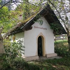
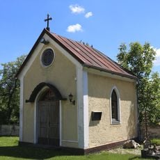
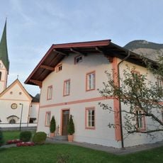
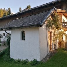
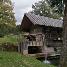
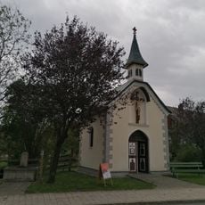
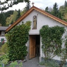
The central area shows traditional Tyrolean buildings with a church and old farmhouses that shape the character of a rural community. Walking paths crisscross through forests and meadows, inviting visitors to explore the landscape on foot.
The facilities are accessible year-round and easily reached from walking trails or ski routes in all seasons. Visitors should check with local information offices for current opening hours of health centers and recreational facilities.
The natural spring waters carry unusually high sulfur concentrations, making this the only officially recognized spa town in Tyrol since 1996. This rarity draws visitors seeking the therapeutic qualities of the mineral-rich water.
The community of curious travelers
AroundUs brings together thousands of curated places, local tips, and hidden gems, enriched daily by 60,000 contributors worldwide.