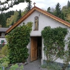
Pölven, Mountain summit in Tyrol, Austria
Pölven is a mountain summit in the Kitzbüheler Alps with an elevation of about 1600 meters (5250 feet), positioned between the villages of Söll, Bad Häring, and Schwoich. From the top you can see across the Inn Valley and toward the surrounding mountain ridges.
The Pölven belongs to the Grauwackenzone, a narrow strip of Palaeozoic rock between the Northern Limestone Alps and the Central Alps. Its schists, phyllites and the Ordovician Blasseneck porphyroid were folded and metamorphosed during the Variscan and Alpine mountain-building phases, when the Grauwackenzone was pushed northward over the Northern Limestone Alps. Ice-age glaciers shaped the slopes and left cirques and moraine deposits.
The Großer Pölven is also called Mittagskogel, a name that marks it as a noon-sighting point for farmers working the slopes below. The ridge is one of the less frequented mountains of the Kitzbühel Alps, so the summit paths stay free of crowds. Glider pilots use the thermals over the ridge, and their aircraft noise occasionally carries up from the valley.
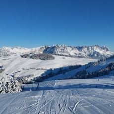
The Großer Pölven (1,595 m) is climbed via a short, easy via ferrata (Klettersteig) on the summit; the ridge is one of the less frequented in the Kitzbühel Alps. The summit area opens views of the Hohe Salve, the Wilder Kaiser, the Loferer Steinberge, Bad Häring, Söll and the Lower Inn Valley. The slopes also hold marl and limestone quarries supplying the cement works at Kirchbichl, so expect occasional aircraft noise from gliders using the thermals.
The Großer Pölven is also called Mittagskogel, and its summit is reached over a short, easy via ferrata rather than a plain trail. The ridge is one of the less-visited mountains of the Kitzbühel Alps, though gliders use the thermals above it, so aircraft noise can interrupt the quiet.
The community of curious travelers
AroundUs brings together thousands of curated places, local tips, and hidden gems, enriched daily by 94,451 contributors worldwide.