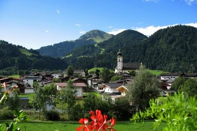
Söll, municipality in Kufstein District, Tyrol, Austria
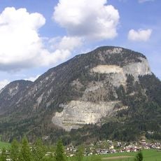
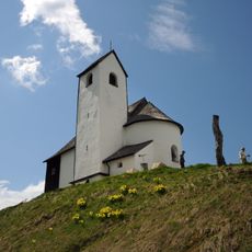
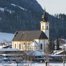
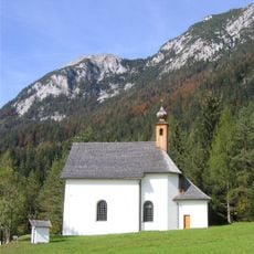
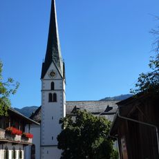
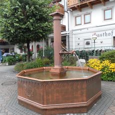
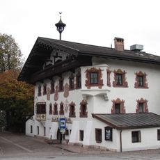
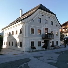
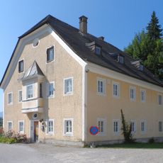
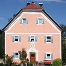
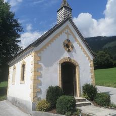
Söll is a small municipality at the foot of the Kaiser Mountains in the Kufstein District. The village sits at approximately 700 meters elevation and features traditional wooden and stone buildings with a cozy character, flower boxes on windows, and simple farmhouse architecture.
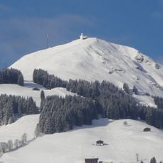
The community developed from a historical agricultural settlement, with its name reflecting the natural wetlands of the region. In the twentieth century, it transformed from a farming village into a center for winter sports and mountain hiking.
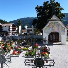
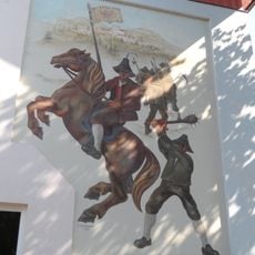
The village takes its name from the marshy meadows that characterize the area. Visitors witness traditional costumes during folk festivals and see how locals keep their customs alive through music and celebrations.
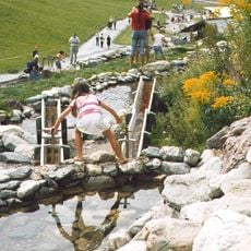
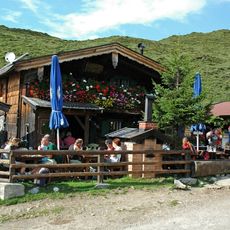
Söll is easily accessible by car or public transport and can be explored on foot or by bike. The local tourist office provides information about hiking routes, seasonal activities, and accommodation options.
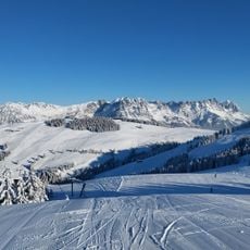
Austria's first dedicated toboggan school is located here, where beginners learn proper sledding technique. After training, visitors can practice on the 4-kilometer Hexenritt run, especially popular for night rides when the snowy slopes glow under artificial lights.
The community of curious travelers
AroundUs brings together thousands of curated places, local tips, and hidden gems, enriched daily by 60,000 contributors worldwide.