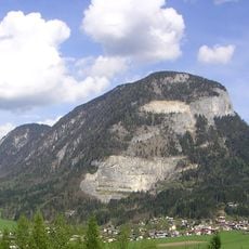
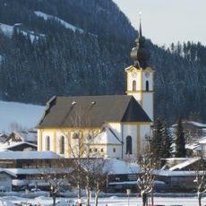
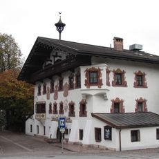
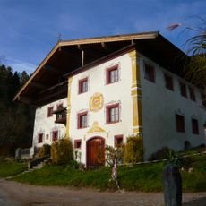
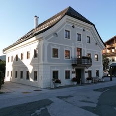
SkiWelt, Ski resort in Söll, Austria
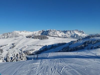
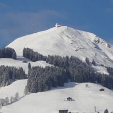
SkiWelt is a large ski resort near Söll in Tyrol with more than 280 kilometers of slopes connected by modern lift systems across the region. The terrain spans roughly 1,250 meters (4,100 feet) in elevation change, offering runs suitable for different skill levels.
The resort began development in the 1960s when local farmers collaborated to build the first ski lifts in the Tyrolean region. This shift transformed the area from a farming economy into a winter sports destination.
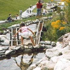
The mountain huts serve regional Tyrolean dishes that reflect local culinary traditions and the way food connects people to this region. You can experience how eating and gathering in these spaces remains central to how locals and visitors spend their time on the mountains.
Access to the slopes is possible from several different villages, with parking available in multiple locations around the resort. Before visiting, check current snow conditions and opening hours of different sections, as these vary depending on the season.
A popular route connects several villages in a circuit across the slopes, allowing skiers to traverse the entire area without repeating any run. This path lets visitors explore different landscapes and village settings in a single day.
The community of curious travelers
AroundUs brings together thousands of curated places, local tips, and hidden gems, enriched daily by 60,000 contributors worldwide.