
Fraham, municipality in Eferding District, Upper Austria, Austria
Location: Eferding District
Elevation above the sea: 270 m
Shares border with: Eferding, Pupping, Alkoven, Scharten, Hinzenbach
Email: gemeinde@fraham.ooe.gv.at
Website: http://fraham.at
GPS coordinates: 48.28333,14.03139
Latest update: March 16, 2025 00:17
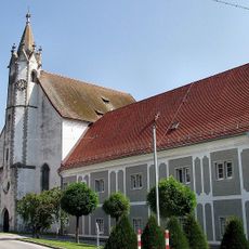
Sankt Maria
2.8 km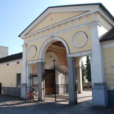
Friedhof christlich
2.8 km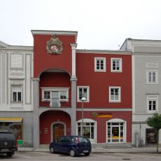
Stadtplatz 14 (Eferding)
2.9 km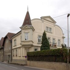
Ledererstraße 12
3 km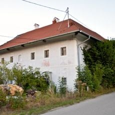
Großstrohmayrgut
2.4 km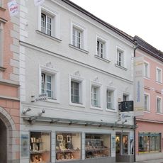
Schmiedstraße 13
2.9 km
Ledererstraße 1
3 km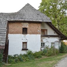
Wastl-Anwesen, Herrnholz
3.3 km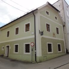
Bürgerhaus
2.8 km
Mariensäule
2.8 km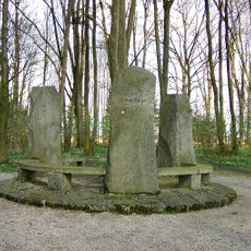
Bauernkriegsdenkmal
1.8 km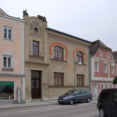
Stadtplatz 5
3 km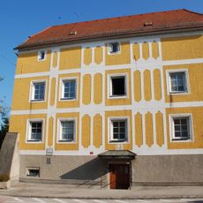
Ehem. Verwaltungsstöckl, Schiferstöckl
2.7 km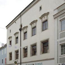
Schmiedstraße 25
2.9 km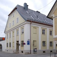
Schmiedstraße 28 (Eferding)
3 km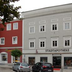
Stadtplatz 15
2.9 km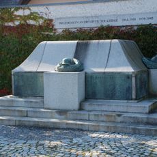
Kriegerdenkmal
2.9 km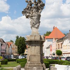
Dreifaltigkeitssäule Eferding
2.9 km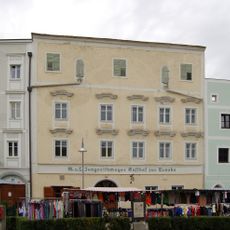
Stadtplatz 29
2.9 km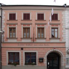
Gasthaus Zum Roten Krebs
2.9 km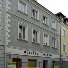
Schmiedstraße 6
2.9 km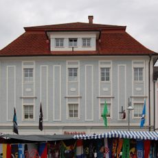
Stadtplatz 32
3 km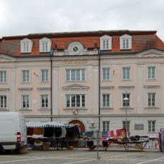
Bezirksgericht Eferding
3 km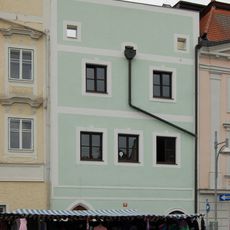
Stadtplatz 30
3 km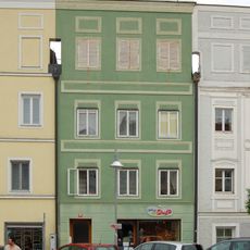
Stadtplatz 10
2.9 km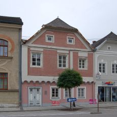
Stadtplatz 6
3 km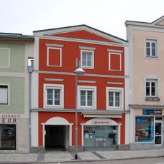
Stadtplatz 3
3 km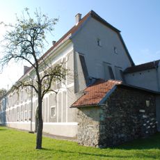
Erbstift
2.8 kmReviews
Visited this place? Tap the stars to rate it and share your experience / photos with the community! Try now! You can cancel it anytime.
Discover hidden gems everywhere you go!
From secret cafés to breathtaking viewpoints, skip the crowded tourist spots and find places that match your style. Our app makes it easy with voice search, smart filtering, route optimization, and insider tips from travelers worldwide. Download now for the complete mobile experience.

A unique approach to discovering new places❞
— Le Figaro
All the places worth exploring❞
— France Info
A tailor-made excursion in just a few clicks❞
— 20 Minutes