
Kematen in Tirol, municipality in Innsbruck-Land District, Tyrol, Austria
Location: Innsbruck-Land District
Elevation above the sea: 610 m
Email: verwaltung@kematen.tirol.gv.at
Website: http://kematen.org
GPS coordinates: 47.25417,11.27222
Latest update: March 3, 2025 16:41
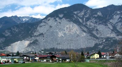
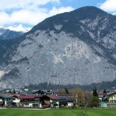
Martinswand
1.7 km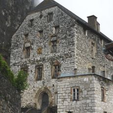
Martinsbühel
1.5 km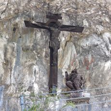
Kaiser-Max-Grotte
1.7 km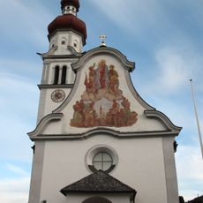
Pfarrkirche Kematen in Tirol
44 m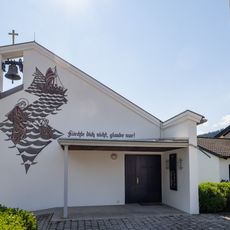
Kreuzkirche
3 km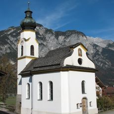
Kematen in Tirol, Afling, Filialkirche Maria Schnee
2 km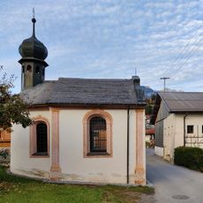
Omeskapelle
1.4 km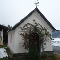
Hofkapelle, Wollbell-Kapelle
1.1 km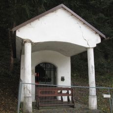
Gsteig- oder Starken-Kapelle
530 m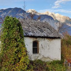
Kapelle Kristen
1.7 km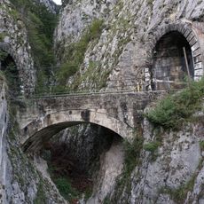
Mittenwaldbahn - Jaufentalbrücke
1.9 km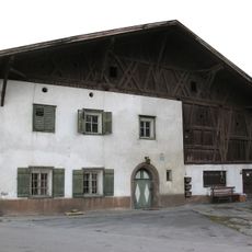
Bauernhaus, Jedlerhof
225 m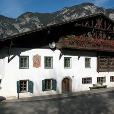
Bauernhaus
2 km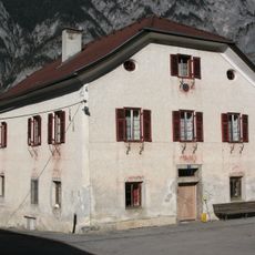
Bauernhaus Haider
2.1 km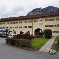
Südtiroler Siedlung
268 m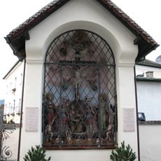
Lotter'sche Grabstätte samt Ausstattung
38 m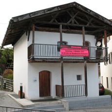
Kornkasten
46 m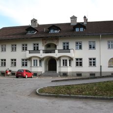
Marsonerhof
207 m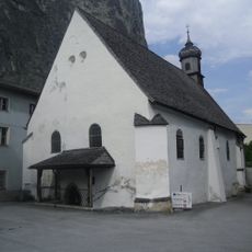
Hofkapelle hl. Martin, Martinsbühel
1.5 km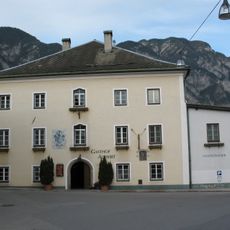
Gasthaus, Altwirt
48 m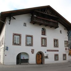
Gemeindeamt
33 m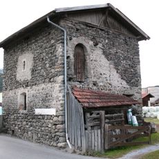
Getreidekasten Abfaltererhof, Kematen
168 m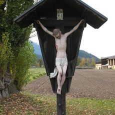
Wegkreuz
284 m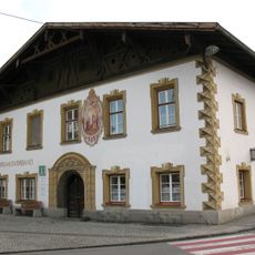
Ehem. Ansitz Spitzenstein
7 m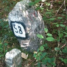
Boundary stones Innsbruck-Zirl
2.8 km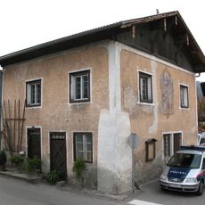
Altes Schulhaus, Kematen in Tirol
113 m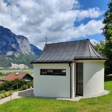
Kreuzkapelle
493 m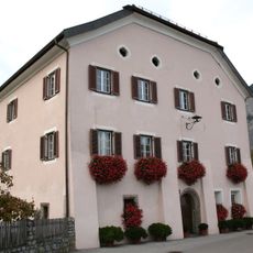
Ansitz, Oberer Lotterhof
83 mReviews
Visited this place? Tap the stars to rate it and share your experience / photos with the community! Try now! You can cancel it anytime.
Discover hidden gems everywhere you go!
From secret cafés to breathtaking viewpoints, skip the crowded tourist spots and find places that match your style. Our app makes it easy with voice search, smart filtering, route optimization, and insider tips from travelers worldwide. Download now for the complete mobile experience.

A unique approach to discovering new places❞
— Le Figaro
All the places worth exploring❞
— France Info
A tailor-made excursion in just a few clicks❞
— 20 Minutes