
Peterskirchen, municipality in Ried im Innkreis District, Upper Austria, Austria
Location: Ried District
Elevation above the sea: 441 m
Website: http://www.p.at/
Shares border with: Taiskirchen im Innkreis, Pram, Hohenzell, Tumeltsham, Andrichsfurt
Email: gemeinde@peterskirchen.ooe.gv.at
Website: http://p.at
GPS coordinates: 48.23833,13.54778
Latest update: March 3, 2025 02:09
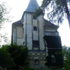
Schloss Feldegg
3.4 km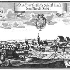
Ried Castle in the Innkreis
5.1 km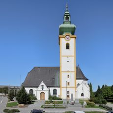
Parish church Hohenzell
5 km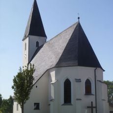
Saints Peter and Paul Church (Peterskirchen)
68 m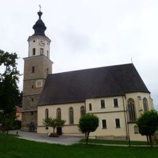
Pfarrkirche Taiskirchen im Innkreis
3.3 km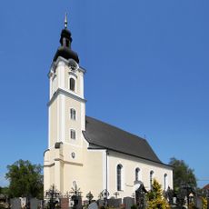
Sankt Stephan (Pram)
4.3 km
Saint Leonard Church
4.8 km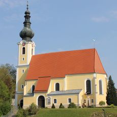
St. Veit
3.8 km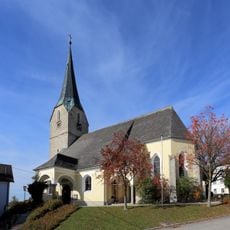
Holy Trinity Church (Andrichsfurt)
3.3 km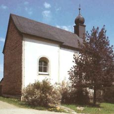
Filialkirche Natzing
4.6 km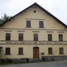
Furthmühle, Pram, Upper Austria
4.5 km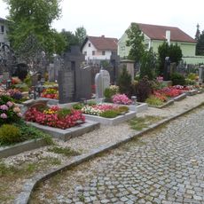
Friedhof der Pfarrkirche
4.3 km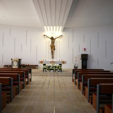
Krankenhaus der Barmherzigen Schwestern Ried
5.1 km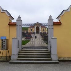
Friedhof Taiskirchen im Innkreis
3.3 km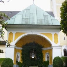
Brunnenkapelle
4.8 km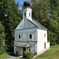
Bründlkapelle Pötting
3.7 km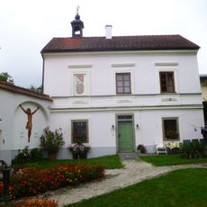
Pfarrhof Hohenzell, Upper Austria
5.2 km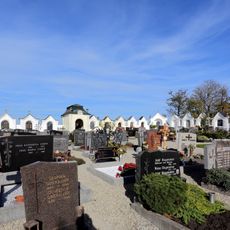
Friedhof
3.3 km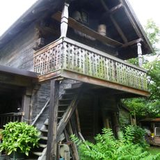
(Getreide)Kasten, Heimatmuseum
5.2 km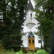
Kainzingerkapelle
2.9 km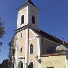
Capucine monastery Ried im Innkreis
5.1 km
Pfarrhof
4.3 km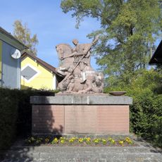
Kriegerdenkmal
3.3 km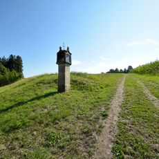
Bildstock Pötting
3.6 km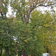
Drei Winterlinden vor der Kapuzinerklosterkirche Kleinried
5.1 km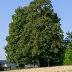
Linden bei der Wimmerkapelle
4.1 km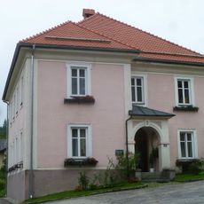
Pfarrhof Taiskirchen im Innkreis
3.3 km
Schule der Schulschwestern
5 kmReviews
Visited this place? Tap the stars to rate it and share your experience / photos with the community! Try now! You can cancel it anytime.
Discover hidden gems everywhere you go!
From secret cafés to breathtaking viewpoints, skip the crowded tourist spots and find places that match your style. Our app makes it easy with voice search, smart filtering, route optimization, and insider tips from travelers worldwide. Download now for the complete mobile experience.

A unique approach to discovering new places❞
— Le Figaro
All the places worth exploring❞
— France Info
A tailor-made excursion in just a few clicks❞
— 20 Minutes