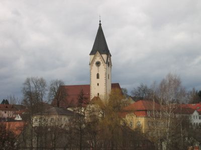
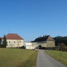
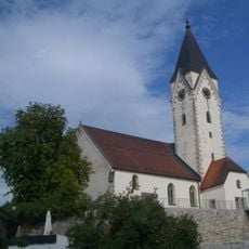
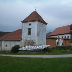
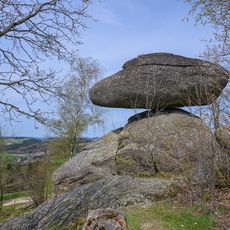
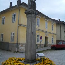
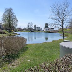
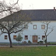
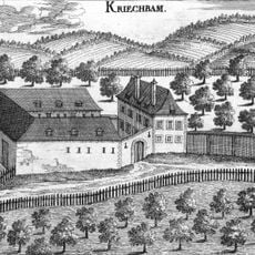
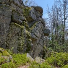
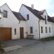
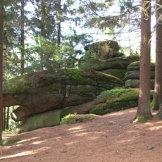
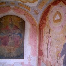
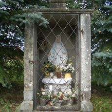
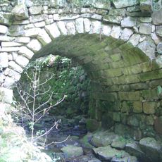
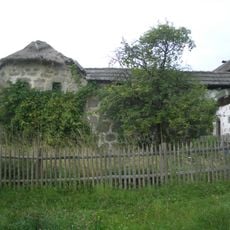
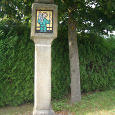
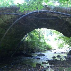
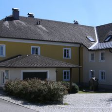
Bad Zell, municipality in Freistadt District, Upper Austria, Austria
Location: Freistadt District
Elevation above the sea: 515 m
Shares border with: Gutau, Schönau im Mühlkreis, Pierbach, Rechberg, Windhaag bei Perg, Allerheiligen im Mühlkreis, Tragwein
Email: gemeinde@bad-zell.ooe.gv.at
Website: http://badzell.at
GPS coordinates: 48.35000,14.66667
Latest update: March 4, 2025 16:00
Schloss Zellhof
2.7 km
Naturpark Mühlviertel
3.7 km
Hedwigsbründl
698 m
Sankt Johannes der Täufer
241 m
Schloss Aich
2.4 km
Schwammerling
3.7 km
Pranger Bad Zell
210 m
Badesee Rechberg
4.7 km
Schloss Habichrigl
788 m
Schloss Kriechbaum
5.4 km
Fuchsmauern
4.3 km
Edelsitz Zell
227 m
Rock formation on the Plenkerberg
5.2 km
Dreifaltigkeitskapelle
914 m
Kapelle am Stiegelweg
3.4 km
Straßenbrücke, Hinterbachbrücke
2.7 km
Bauernhof Unterpichler, Bad Zell
2.8 km
Bildstock, Franzosenkreuz
330 m
Straßenbrücke Tragwein
3 km
Pechölstein in Kaining
5.3 km
Bildstock
4.6 km
Ehem. Marktspital
511 m
Pfarrhof, Kindergarten
234 m
Pechölstein at the Kreuzberger farm
6 km
Zwillingseibe von Tragwein
3.2 km
Reinholds- oder Russenhammer, Herrenhaus und Schmiede
3 km
Figur Hl. Johannes Nepomuk
244 m
Pfarrhof
4.6 kmReviews
Visited this place? Tap the stars to rate it and share your experience / photos with the community! Try now! You can cancel it anytime.
Discover hidden gems everywhere you go!
From secret cafés to breathtaking viewpoints, skip the crowded tourist spots and find places that match your style. Our app makes it easy with voice search, smart filtering, route optimization, and insider tips from travelers worldwide. Download now for the complete mobile experience.
A unique approach to discovering new places❞
— Le Figaro
All the places worth exploring❞
— France Info
A tailor-made excursion in just a few clicks❞
— 20 Minutes