Slovene Hills, Hill chain in northeastern Slovenia and southern Austria
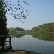
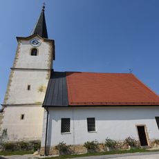
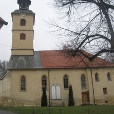
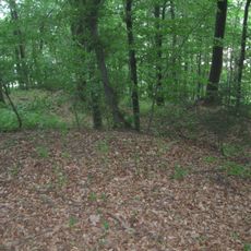
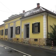
The Slovene Hills, also known as Slovenske gorice, form a hill chain that straddles the border between Slovenia and Austria, lying between the Mura and Drava rivers. The terrain alternates between vineyards, forests, and farmland, with small villages scattered across the slopes.
The region was first mentioned in writing in 1123, referring to land between the towns of Mureck and Lenart. That early record shows the area has long been recognized as a distinct geographic unit, well before modern borders were drawn.
Wine production shapes the regional identity, with vineyards and cellars where local varieties are grown and traditional knowledge is passed down through generations. Visitors can see how deeply this work is woven into the daily life and landscape of the settlements.
A network of hiking and cycling trails crosses the area on both sides of the border, passing through villages and open countryside. Spring through early autumn is generally the most comfortable time to explore, when paths are in good shape and daylight hours are long.
The border between Slovenia and Austria runs along the watershed between the Sulm and Pesnica river basins, roughly following the state border. The highest peak is Kreuzberg at 633 m, north of Leutschach in Austria. The Slovene part covers about 1000 km², the Austrian part about 500 km².
The community of curious travelers
AroundUs brings together thousands of curated places, local tips, and hidden gems, enriched daily by 93,919 contributors worldwide.