Großer Sulzberg, Mountain summit in Mostviertel region, Austria.
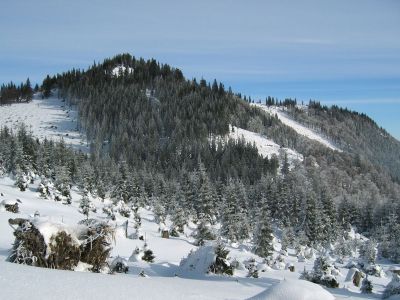
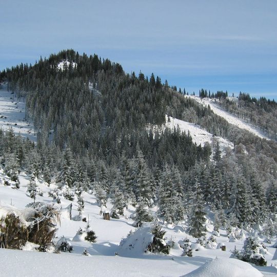
Großer Sulzberg is the highest summit of the Türnitz Alps in Lower Austria, reaching 1,400 m above sea level. Its ridge runs west to east and forms the municipal boundary between Annaberg on the north side and Sankt Aegyd am Neuwalde on the south. The crest is partly free of trees, while the slopes below are forested.
The mountain ridge has long served as the boundary between Sankt Aegyd am Neuwalde and Annaberg municipalities. This natural division continues to define administrative borders in the region.
The Große Sulzberg has no marked trail to its summit, so access runs along forest roads and unmarked hunting paths, which is why it has been called a "hidden mountain destination for path finders". The ridge line also marks the municipal boundary between Annaberg on the north side and Sankt Aegyd am Neuwalde on the south side.
No marked trail leads to the summit; the easiest approach is from Fadental in the south, about two hours on forest roads and unmarked hunting paths. Routes from the Sattel Am Säbel in the west and from Ulreichsberg in the east are longer and need more route-finding. In winter the wooded ascent keeps avalanche risk comparatively low, and Fadental is again the best starting point for ski tours and snowshoe walks.
The partly tree-free ridge offers clear views across Schneeberg and Göller extending toward the Gesäuse mountains. These open sections make the summit a popular spot for long-distance viewing.
The community of curious travelers
AroundUs brings together thousands of curated places, local tips, and hidden gems, enriched daily by 94,054 contributors worldwide.