
Warth, municipality in Neunkirchen District, Lower Austria, Austria
Location: Neunkirchen District
Elevation above the sea: 385 m
Part of: Ski Arlberg
Shares border with: Altendorf, Grafenbach-Sankt Valentin, Wartmannstetten, Scheiblingkirchen-Thernberg, Thomasberg, Grimmenstein, Feistritz am Wechsel, Kirchberg am Wechsel
Email: gemeinde@warth-noe.gv.at
Website: http://warth-noe.gv.at
GPS coordinates: 47.65333,16.12750
Latest update: March 29, 2025 01:16

Türkensturz
3 km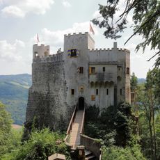
Burg Grimmenstein
2.4 km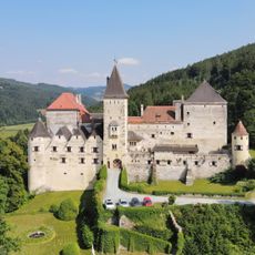
Feistritz Castle
8.2 km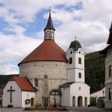
Pfarrkirche Scheiblingkirchen
837 m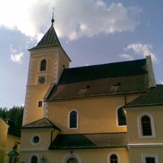
Pfarrkirche Haßbach
5.3 km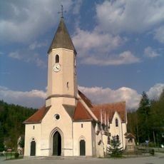
Pfarrkirche Kirchau
2.8 km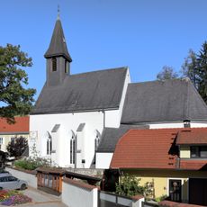
Pfarrkirche Feistritz am Wechsel
8.1 km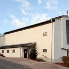
Marien-Dankes-Kirche Wartmannstetten
5.7 km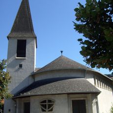
Filialkirche Grimmenstein
4 km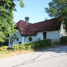
Ortskapelle Hochegg
5.2 km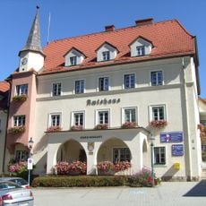
Amtshaus Edlitz
6.2 km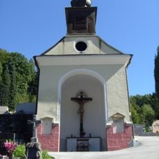
Friedhofskapelle
5.8 km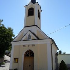
Ortskapelle
5.5 km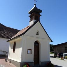
Ortskapelle
4.7 km
Lungenheilanstalt Hochegg
5.1 km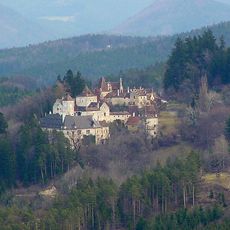
Burg Steyersberg
6.4 km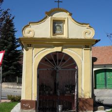
Betkapelle
6 km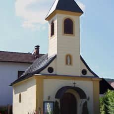
Ortskapelle Maria Hilfe der Christen
2.6 km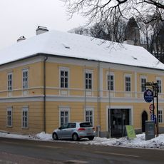
Gemeindeamt, ehem. Poststation
8.2 km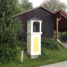
Bildstock Witzelsbergerstraße
1.9 km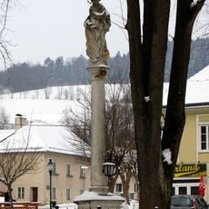
Mariensäule
8.2 km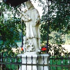
Figurenbildstock hl. Johannes Nepomuk
8.3 km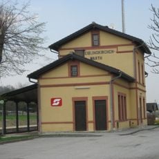
Aufnahmsgebäude Bahnhof Scheiblingkirchen-Warth
1 km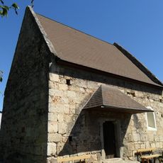
Hausbergkapelle hl. Bartholomäus
5.6 km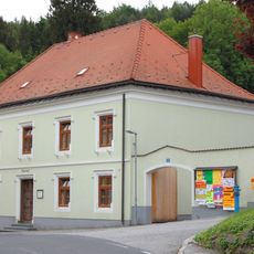
Pfarrhof
5.3 km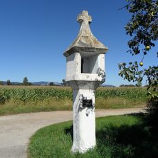
Bildstock, sog. Marchstein
6.3 km
Schule
6.2 km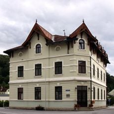
Gemeindeamt
813 mVisited this place? Tap the stars to rate it and share your experience / photos with the community! Try now! You can cancel it anytime.
Discover hidden gems everywhere you go!
From secret cafés to breathtaking viewpoints, skip the crowded tourist spots and find places that match your style. Our app makes it easy with voice search, smart filtering, route optimization, and insider tips from travelers worldwide. Download now for the complete mobile experience.

A unique approach to discovering new places❞
— Le Figaro
All the places worth exploring❞
— France Info
A tailor-made excursion in just a few clicks❞
— 20 Minutes