Kalkalpen National Park, National park in Upper Austria, Austria
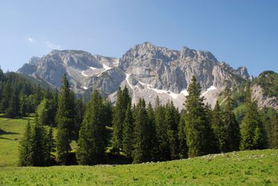
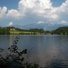
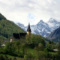
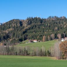
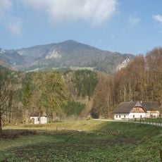
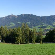
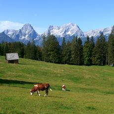
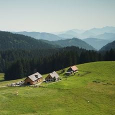
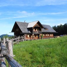
Kalkalpen National Park is a protected area in the Northern Limestone Alps of Upper Austria, covering 20,825 hectares (51,460 acres) of mountain forests, springs and streams. The landscape ranges from deep valleys through midmountain terrain up to the peaks, where meadows, karst surfaces and abandoned pastures alternate.
This park was established in 1997 to protect the last large stretches of old-growth forest in Austria. The decision came after decades of debate over industrial use of these mountain woodlands.
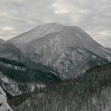
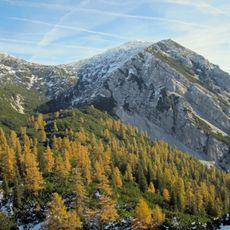
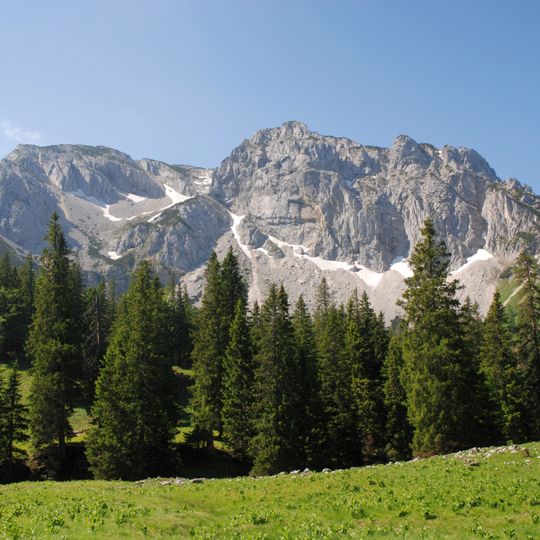
The name Kalkalpen comes from the Wetterstein limestone and main dolomite that form the massif, the same rock scored by gullies and holding snow patches high on the face. Hunters once used the forests: after 1900 Archduke Franz Ferdinand held hunting rights in the Lamberg estates. Four areas of the park's beech forest, in the Urlachtal, Bodinggraben, Wilden Graben and Hintergebirge, joined the UNESCO World Heritage ancient beech forests in 2017.
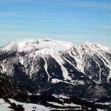
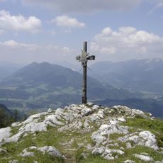
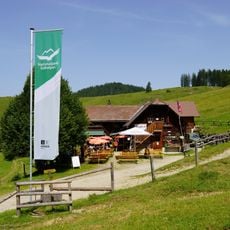
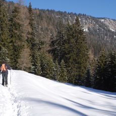
Visitor centers in Molln, Reichraming and Windischgarsten supply information, exhibitions and maps for the trail network. The Wurbauerkogel tower near Windischgarsten is reached by chairlift or hiking paths; on clear days 21 peaks of 2,000 metres or more are visible. The former Steyr Valley Railway, now partly the Steyrtal rail trail, crosses the Molln area. Snowshoe routes and alpine skiing trails are marked in winter.
More than 800 natural springs rise within the park, feeding a network of 200 kilometers (124 miles) of streams. It is also home to around 1,500 butterfly species, more than anywhere else in Austria.
The community of curious travelers
AroundUs brings together thousands of curated places, local tips, and hidden gems, enriched daily by 93,527 contributors worldwide.