Acherkogel, Mountain summit in Tyrol, Austria
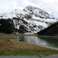
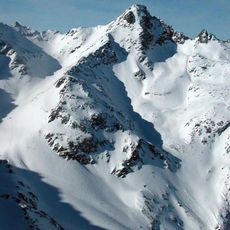
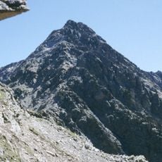
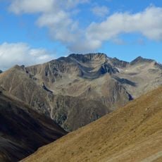
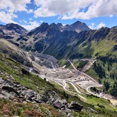
Acherkogel is a mountain summit in the Stubaier Alps reaching 3007 meters, with steep rock walls on its northwest and southwest sides. The peak is composed of granitic gneiss and provides panoramic views across the surrounding Alpine terrain.
Ludwig Purtscheller made the first ascent on 24 August 1881 by the southeast and south ridge, a route no longer used. His companion, the chamois hunter Franz Schnaiter from Kühtai, stayed behind on the exposed south ridge and did not reach the summit. On top Purtscheller found a stone survey figure, probably left when the Franziszeische Kataster was drawn up around 1854.
The mountain stands as a geographical marker for the residents of Oetz Valley, with its summit indicating the beginning of spring and autumn seasons.
The north face, first climbed by Otto Melzer in 1893, is now the normal route and is usually approached from the Neue Bielefelder Hütte. The northeast ridge (UIAA IV, K. Holzhammer, 1924) starts from the saddle between Acherkogel and Maningkogel, often with a crossing of the Maningkogel from the Mittertal and Kühtai or the Mittergrathütten as trailhead. The south ridge (UIAA II, 1899) is mostly climbed from the Dortmunder Hütte, while the southwest face (UIAA II, 1891) was once the normal route and is now rarely used.
From Sautens, the peak marks the calendar start of spring and autumn: on those days the sun rises exactly behind the summit, visible within a corridor of just under 100 metres. The effect comes from the diffraction of light around the rock monument.
The community of curious travelers
AroundUs brings together thousands of curated places, local tips, and hidden gems, enriched daily by 93,781 contributors worldwide.