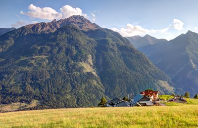
Mölltaler Polinik, Mountain peak in Kreuzeck group, Carinthia, Austria
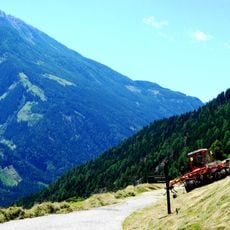
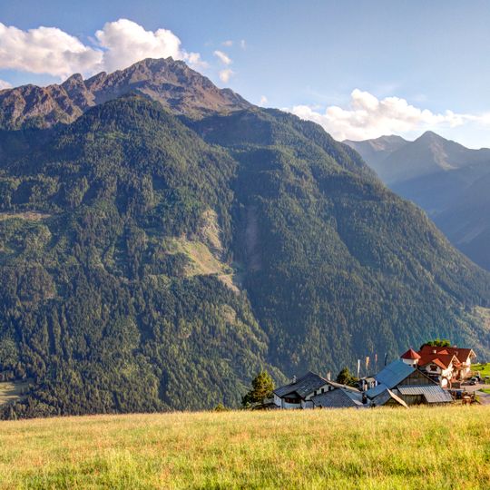
The Mölltaler Polinik is, at 2,784 m, the highest mountain of the Kreuzeck group, a southern part of the High Tauern range in Carinthia. Its summit stands on the boundary between the municipalities of Obervellach and Reißeck, south of Flattach and Obervellach in the Möll Valley. A ridge runs southwest from the top over the Schneestellkopf and Striedenkopf to the Gößnitztörl.
The sources document no construction date for the Polinikhaus (Polinikhütte) at 1,873 m; they record only that it is run by the Mölltal Section of the Austrian Alpine Club and offers 15 beds in rooms plus 20 dormitory places. The peak itself lies on the boundary between the municipalities of Obervellach and Reißeck, and a ridge runs southwest from the summit over Schneestellkopf and Striedenkopf to the Gößnitztörl.
The name Polinik is traced by Pohl to the Slovene word pol, meaning half, and interpreted as midday mountain, comparable to the peak name Zwölfer. The summit ridge runs southwest over Schneestellkopf and Striedenkopf to the Gößnitztörl, which separates the northern Kreuzeck group from its main ridge.
From Obervellach a footpath leads past the Polinikhaus lodge at 1,873 m to the summit; from Flattach the climb goes through the 200 m deep Ragga Ravine and over the Raggaalm pasture. The traverse from Feldnerhütte via Kreuzeck, Wöllatörl, Eisenriegel and Kehlkruckerkopf to the Polinik covers more than 17 km with 1,192 m of ascent and takes about 10:30 hours.
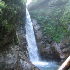
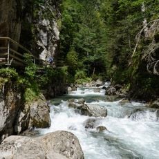
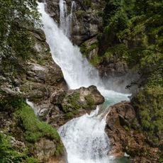
The Ragga Ravine route from Flattach climbs through a gorge about 200 m deep, where a winding boardwalk crosses numerous waterfalls up to the Raggaalm pasture. The ravine is a protected natural monument. From the pasture the path continues to the 2,784 m summit.
The community of curious travelers
AroundUs brings together thousands of curated places, local tips, and hidden gems, enriched daily by 94,028 contributors worldwide.