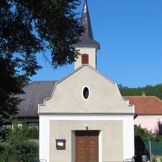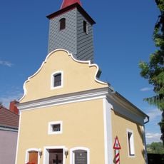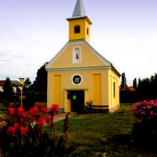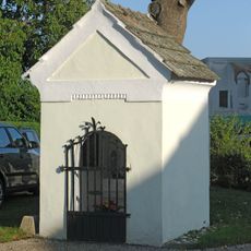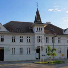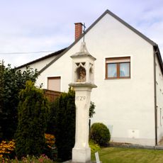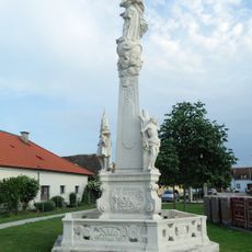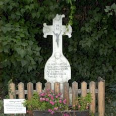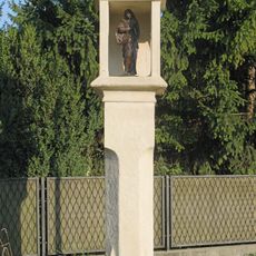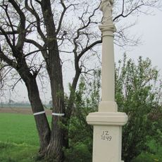
Wagram, Mountain range in Lower Austria, Austria
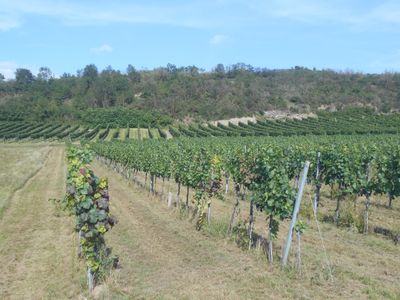
The Wagram is a ridge up to 40 metres high running north of the Danube from Krems eastwards, where it rises steeply above the Tullnerfeld plain and levels into the Weinviertel hills. Its slope is glacial loess over Tertiary marine sands with shells and layers of Danube gravel; at Fels am Wagram the rocky bedrock breaks through.
The ridge was resettled from Passau in the 11th century, when the population was Christianised and Bavarian settlers spread the German language, while Slavic and Celtic place names survived. Visible Hallstatt-period evidence includes the Leeberg, a probable burial mound on the Wagram edge at Pettendorf, and the Haleberg mound about 400 m east of Neustift im Felde.
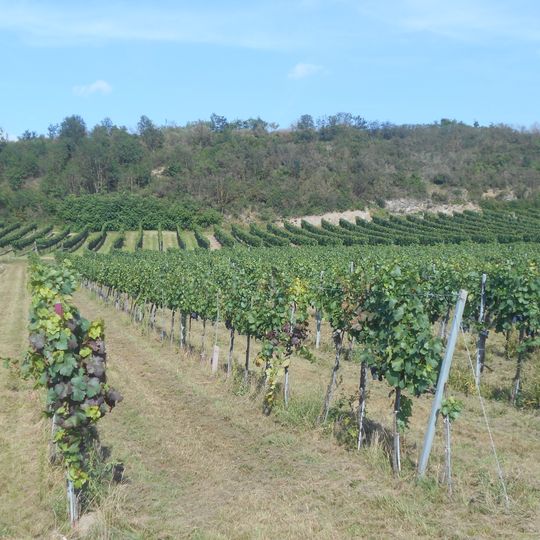
The name Wagram comes from Middle High German wac (moving water) and rain (slope, meadow), meaning roughly slope by the water. Since 2007 the wine region has borne this name, after being marketed as Donauland from 1985. About half to two-thirds of the vineyards are planted with Grüner Veltliner, and many wine cellars are dug directly into the loess.
The ridge is dry in summer, so settlements sit by springs such as Engelmannsbrunn or in valleys like Ruppersthal, Ottenthal and Thürnthal. Many vineyard terraces are small and steep, hard to work by machine, and some lie fallow. At Fels am Wagram the rocky bedrock reaches the surface.
The ridge's slopes are not pure loess: they expose marine sands with fossil shells from the Tertiary sea that once reached Eggenburg, making the Wagram a former coastline. Above these sands lie layers of Danube gravel, with the present soil on top.
The community of curious travelers
AroundUs brings together thousands of curated places, local tips, and hidden gems, enriched daily by 94,894 contributors worldwide.