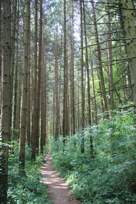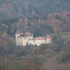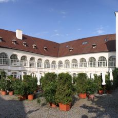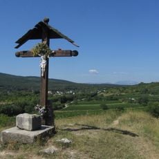
Mitterriegel, Mountain summit in Rosalia range, Austria.
Mitterriegel is a 530 m summit in the Rosalia range, on the border between Burgenland and Lower Austria, southeast of Katzelsdorf and west of Bad Sauerbrunn. A marked hiking trail runs along the provincial border. The Gespitzte Riegel (594 m) lies to the south and the Scheiben (352 m) to the north; a 506 m elevation marker stands on the northern slope by the border.
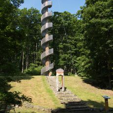
The first Wiener-Neustädter Warte, a lookout tower on the Mitterriegel, was built in 1883 and demolished in 1902 because it had become unsafe. A replacement opened on 3 May 1903, the 25th anniversary of the Wiener Neustadt section of the Austrian Tourist Club; the 16-metre tower later fell into ruin and has no successor on the site. In 1924 a new tower was planned on the Steinkogel instead, and on 9 September 2007 a lookout tower opened at the Florianikreuz.
The summit lies on the state border between Burgenland and Lower Austria, southeast of Katzelsdorf and west of Bad Sauerbrunn. A marked hiking trail runs along this border, so walkers cross between the two provinces on the ridge. The mountain's name, Mitterriegel, refers to its position between the Gespitzter Riegel (594 m) to the south and the Scheiben (352 m) to the north.
A marked trail runs along the Burgenland–Lower Austria border over the summit, linking it with the Gespitzter Riegel (594 m) to the south and the Scheiben (352 m) to the north. The 506 m elevation mark stands on the northern slope directly at the provincial boundary. The successor lookout tower opened on 9 September 2007 at the Florianikreuz.
From the summit, you can see both the northern and southern sections of the Rosalia range, which are separated by the Wulka valley. This view reveals the geographic diversity and contrasting landscape features on each side of the divide.
The community of curious travelers
AroundUs brings together thousands of curated places, local tips, and hidden gems, enriched daily by 94,133 contributors worldwide.