Burg Kühnring, Medieval castle ruins in Waldviertel region, Austria
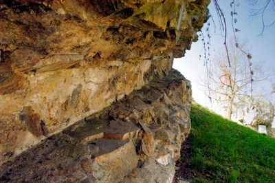
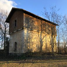
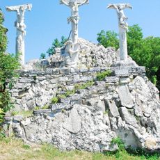
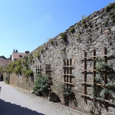
Burg Kühnring consists of castle ruins with massive stone walls situated adjacent to the parish church, positioned where the Urtlbach creek provides natural defense to the north and east. Four large wall sections remain visible today, defining the character of this site within the municipal boundaries of Burgschleinitz-Kühnring in the Horn district.
Built in the first half of the 12th century by Hadmar I, the castle served as the ancestral seat of the Kuenringer family before meeting its end in 1461. Its destruction employed an unusual technique of inserting wooden beams into drilled wall holes and soaking them with water to force expansion and collapse.
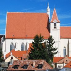
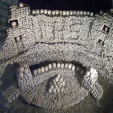
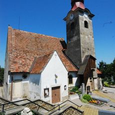
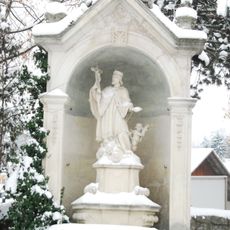
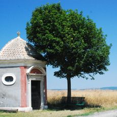
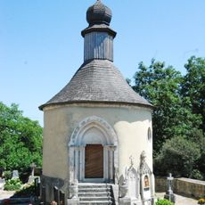
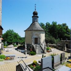
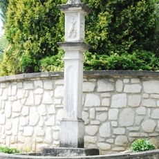
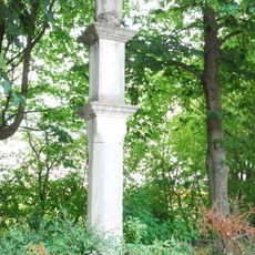
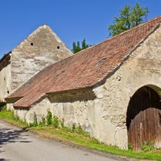
The castle grounds now serve as a religious center with a cemetery, parish church, and charnel house, showing how this medieval stronghold became a spiritual gathering place for the community. Local worship continues where defense once stood.
The site sits within the municipal boundaries of Burgschleinitz-Kühnring and is easily accessible, with the four remaining wall sections clearly visible. Note that the ruins are intertwined with the active parish church and cemetery, so visitors should be respectful of the ongoing religious use of the grounds.
The castle's destruction involved a rare feat of engineering reversal: attackers drilled holes into the walls, inserted wooden beams, soaked them with water, and let the expansion force the structure to collapse. This method reveals how ingeniously medieval attackers could dismantle fortifications.
The community of curious travelers
AroundUs brings together thousands of curated places, local tips, and hidden gems, enriched daily by 60,000 contributors worldwide.