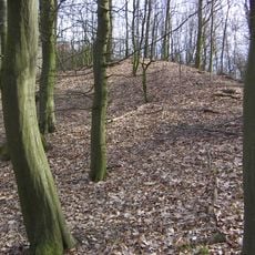
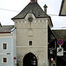
Burgruine Luftenberg, Medieval castle ruins in Luftenberg an der Donau, Austria
Burgruine Luftenberg is a castle set on a hilltop overlooking the Danube River, with stone walls and fortified sections still visible today. It stands opposite the mouth of the Traun river, controlling a key position along the waterway.
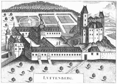
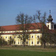
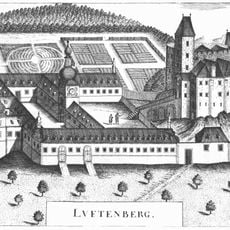
The fortress belonged to noblewoman Liutgard in 1125, and parts of it were dismantled in the late 16th century to build the neighboring Schloss Luftenberg. This demolition and reconstruction show how the site changed hands and purpose over time.
The ruins mark a point in the region's salt trade history, where merchants moving goods between Austria and Bohemia passed by under watchful eyes. The location itself tells the story of how commerce shaped the landscape.
The ruins are located at Am Luftenberg 1 and can be reached by walking trails from the town, with warmer months offering the best conditions for a visit. The climb to the site provides views of the Danube and calls for sturdy footwear on uneven ground.
One overlooked detail is that residents here collected wine taxes from ships sailing the Danube, a practice eventually prohibited by higher authorities. This toll system was typical of medieval river fortresses and reveals the economic power such positions commanded.
The community of curious travelers
AroundUs brings together thousands of curated places, local tips, and hidden gems, enriched daily by 60,000 contributors worldwide.