
Rohrbach, city district of Dornbirn
Location: Dornbirn
Elevation above the sea: 421 m
GPS coordinates: 47.42220,9.73278
Latest update: March 17, 2025 10:32
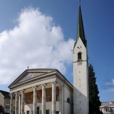
St. Martin parish church
1.2 km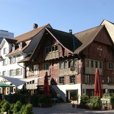
Red house
1.2 km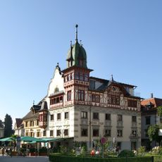
Johann-Luger-Haus
1.2 km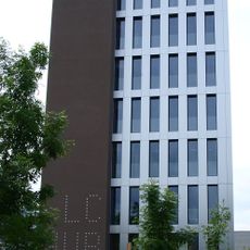
LifeCycle Tower
421 m
Steam engines Dornbirn
366 m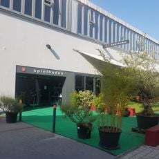
Spielboden
376 m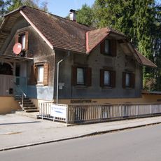
Forach power plant
601 m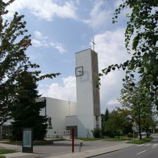
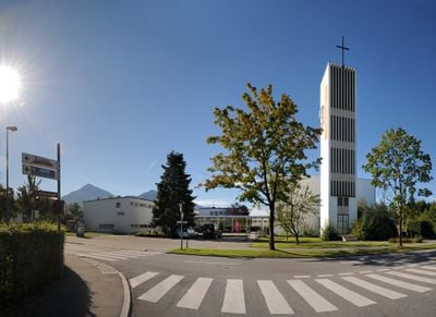
Parish church Dornbirn-Rohrbach
8 m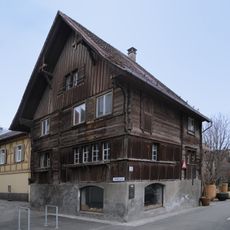
Klostergasse 1
1 km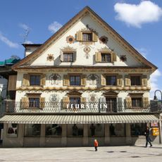
Feurstein-Haus
1.2 km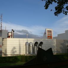
ORF-Landesstudio Vorarlberg (Dornbirn)
1.2 km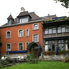
Bahnhofstrasse 7
1 km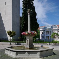
St. Martinsbrunnen (Dornbirn)
1.2 km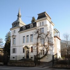
Villa Schwendinger
869 m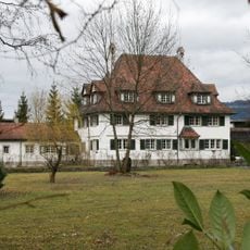
Villa Franz M. Rhomberg, Oskar Rhomberg
548 m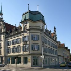
Hotel Rhomberg
947 m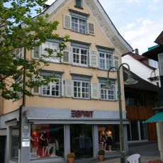
Marktplatz 7
1.2 km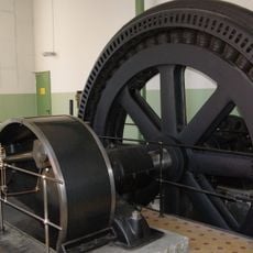
Dampfmaschine Rhombergs Fabrik
420 m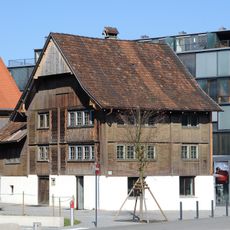
Bauernhaus
1.1 km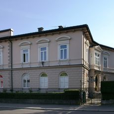
Bahnhofstrasse 30
738 m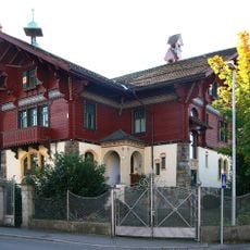
Villa/Landhaus
1.1 km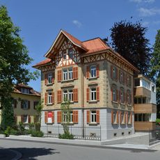
Wohnhaus
1.2 km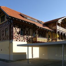
Franz-Michael-Felder-Straße 5
819 m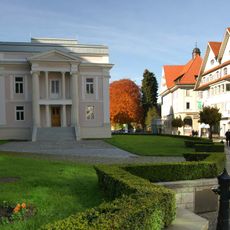
Pfarrhof St. Martin
1.1 km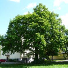
Pedunculate oak natural monument
1 km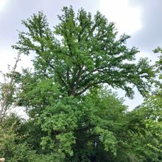
Natural monument oak (Quercus)
1.2 km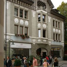
Marktplatz 14
1.2 km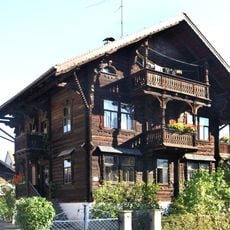
Wohnhaus
1 kmReviews
Visited this place? Tap the stars to rate it and share your experience / photos with the community! Try now! You can cancel it anytime.
Discover hidden gems everywhere you go!
From secret cafés to breathtaking viewpoints, skip the crowded tourist spots and find places that match your style. Our app makes it easy with voice search, smart filtering, route optimization, and insider tips from travelers worldwide. Download now for the complete mobile experience.

A unique approach to discovering new places❞
— Le Figaro
All the places worth exploring❞
— France Info
A tailor-made excursion in just a few clicks❞
— 20 Minutes