
Inzersdorf, quarter of Vienna
Location: Vienna
Shares border with: Altmannsdorf, Inzersdorf Stadt, Oberlaa Land, Rothneusiedl, Vösendorf, Erlaa, Atzgersdorf
GPS coordinates: 48.14260,16.34940
Latest update: March 13, 2025 22:41

Großmarkt Wien
1.1 km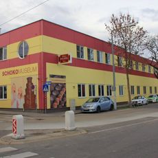
SchokoMuseum Heindl
1.6 km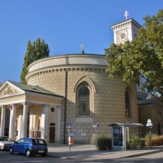
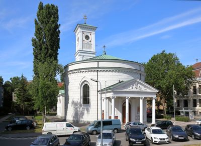
St. Nicholas' Church, Inzersdorf
877 m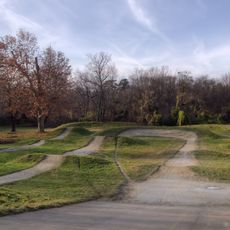
Draschepark
1.2 km
Pfarrkirche Franz von Sales
2.5 km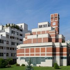
Am Schöpfwerk Church
2.4 km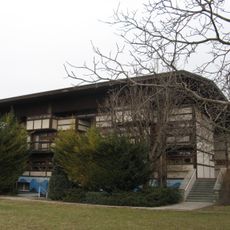
Salvator am Wienerfeld
1.8 km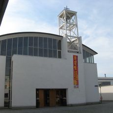
Emmaus am Wienerberg
1.5 km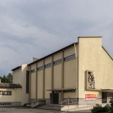
Pfarrkirche Neuerlaa
2.2 km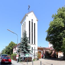
Saint Mary of Help Church (Inzersdorf, Vienna)
1.6 km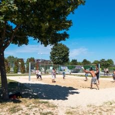
PaN-Park
2.5 km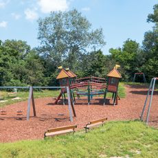
Johann-Benda-Park
1.3 km
Volksschule Draschestraße
843 m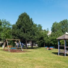
Hedy-Wunsch-Park
2.4 km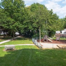
Hans-Dunkl-Park
567 m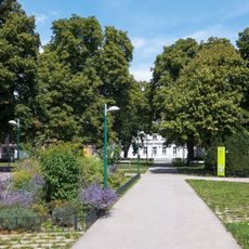
Inzersdorfer Schubertpark
1.5 km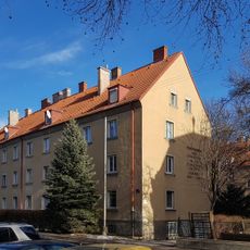
Wohnhausanlage Karl-Krestan-Gasse 5
882 m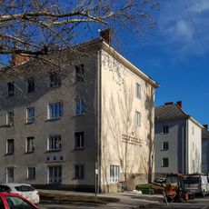
Wohnhausanlage Hochwassergasse 58
897 m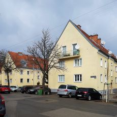
Wohnhausanlage Erlaaer Straße 125-129
2.7 km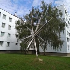
Stahlplastik "Sonne", Josef Schagerl, Zanaschkagasse 26, 1120 Wien
2.9 km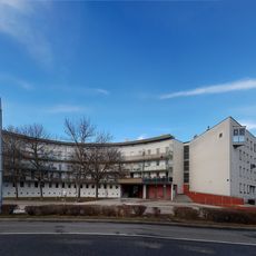
Wohnhausanlage Otto-Probst-Straße 16-18 – West 1
1.4 km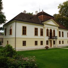
Maria-Theresien-Schlössl, Inzersdorf
838 m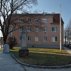
Wohnhausanlage Erlaaer Straße 154-158
2 km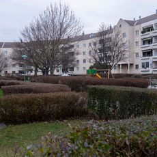
Wohnhausanlage Otto-Probst-Straße 5 – Block A–F
1.4 km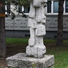
Hannes Turba Figurale Form
2.5 km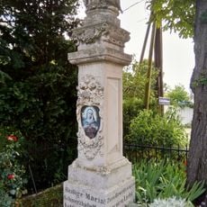
Pietà Kirchfeldgasse, Vienna
3 km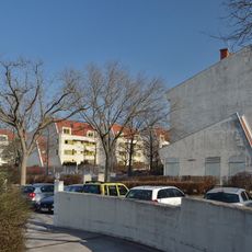
Wohnhausanlage Pfarrgasse 61
325 m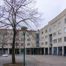
Wohnhausanlage Otto-Probst-Straße 3 – Block A–J
1.4 kmReviews
Visited this place? Tap the stars to rate it and share your experience / photos with the community! Try now! You can cancel it anytime.
Discover hidden gems everywhere you go!
From secret cafés to breathtaking viewpoints, skip the crowded tourist spots and find places that match your style. Our app makes it easy with voice search, smart filtering, route optimization, and insider tips from travelers worldwide. Download now for the complete mobile experience.

A unique approach to discovering new places❞
— Le Figaro
All the places worth exploring❞
— France Info
A tailor-made excursion in just a few clicks❞
— 20 Minutes