
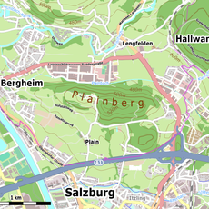
Langwied, human settlement in Austria
Location: Salzburg
Elevation above the sea: 431 m
Shares border with: Heuberg
GPS coordinates: 47.82950,13.07320
Latest update: April 17, 2025 14:00
Salzburg Nord
1.3 km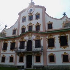
Robinighof
1.9 km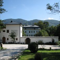
Söllheim Castle
957 m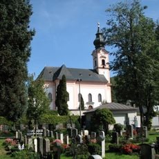
Pfarrkirche Gnigl
1.9 km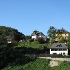
Schloss Radeck
1.5 km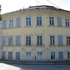
Schloss Minnesheim
1.7 km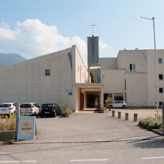
Pfarrkirche St. Severin Salzburg
792 m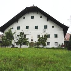
Gut Nußdorf / Berndlgut, Bergsam
460 m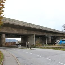
Talübergang Kasern
949 m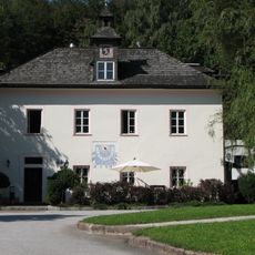
Pfefferschiff
1 km
Berndlgut
445 m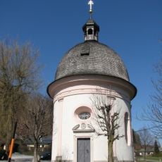
Saint Anthony chapel (Hallwang)
1.1 km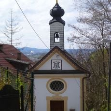
Kapelle Maria Luggau, Gnigl
1.9 km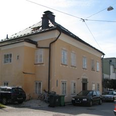
Wohnhaus (Knollen- oder Wäschergütl, Doktorhaus)
1.7 km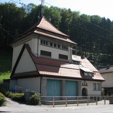
Umspannwerk-Trafostation Hallwang
911 m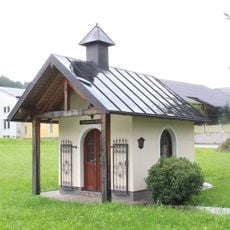
Magdalenenkapelle
1.4 km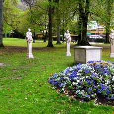
Four Seasons, Minnesheim Park
1.8 km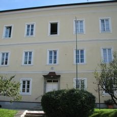
Schule
1.9 km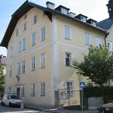
Spital/Ambulatorium, ehem. St. Anna-Spital und Torbogen
1.7 km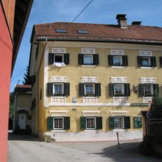
Wohnhaus, Freyhammeranwesen
1.7 km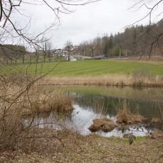
Tümpel in Kasern
1.1 km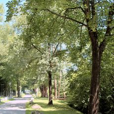
Baumreihe beim Robinighof
1.9 km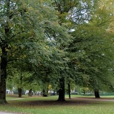
Gnigler Park
1.7 km
Fürstenwegbrücke
1.6 km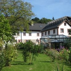
Staudingers Kunstmühle/Mosermühle, ehem. Au- oder Neumüll
1.8 km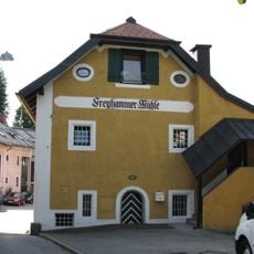
Strattner- oder Freyhammermühle
1.7 km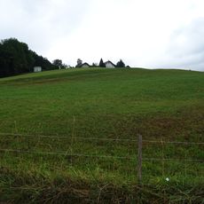
Nußdorfer Hügel
461 m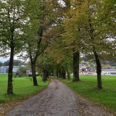
Lindenallee in Kasern
1.3 kmReviews
Visited this place? Tap the stars to rate it and share your experience / photos with the community! Try now! You can cancel it anytime.
Discover hidden gems everywhere you go!
From secret cafés to breathtaking viewpoints, skip the crowded tourist spots and find places that match your style. Our app makes it easy with voice search, smart filtering, route optimization, and insider tips from travelers worldwide. Download now for the complete mobile experience.

A unique approach to discovering new places❞
— Le Figaro
All the places worth exploring❞
— France Info
A tailor-made excursion in just a few clicks❞
— 20 Minutes