Church Maria im Elend
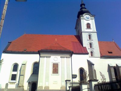
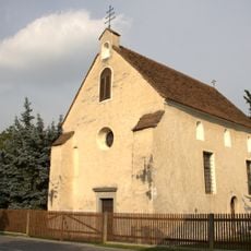
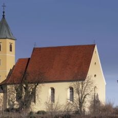
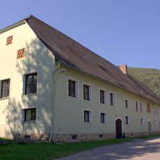
Church Maria im Elend, Baroque parish church in Straßgang district, Graz, Austria.
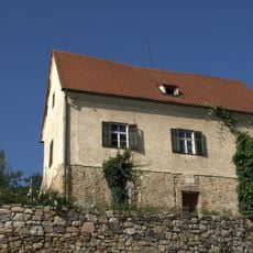
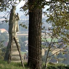
Church Maria im Elend is a baroque parish church in the Straßgang district situated on the northeastern slope of Florianiberg mountain. Roman tombstones from the 2nd century are embedded in its exterior walls, offering glimpses into the ancient past of this location.
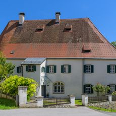
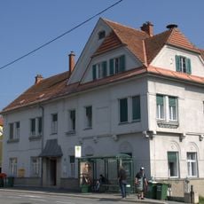
The structure originated as a Romanesque St. George's Church in the 10th century and became a parish church in 1140 under the Benedictine monastery of Admont. Later baroque renovations transformed its appearance significantly.
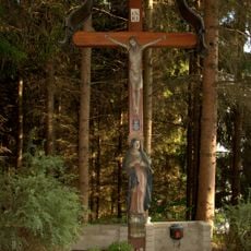
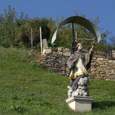
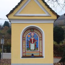
The church honors the Flight into Egypt and reflects deep devotion to Mary that remains visible in how the building and grounds are maintained. Local pilgrims continue to visit this site as a place for personal prayer and spiritual connection.
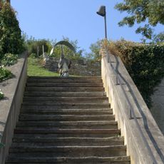
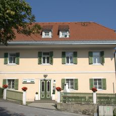
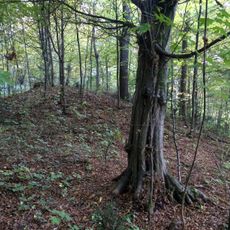
The church stands at Florianibergstraße 13 in Graz and remains accessible year-round as an active parish church. The hillside setting means solid footwear is useful for navigating the terrain around the building.
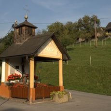
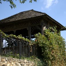
Architect Johann Georg Stengg designed the baroque roof turret that now defines the church's silhouette. This architectural element showcases the craftsmanship of the baroque period and stands out in the Straßgang landscape.
Location: Graz
Architectural style: baroque architecture
Address: Florianibergstraße 13
GPS coordinates: 47.02210,15.39910
Latest update: December 9, 2025 12:26
Seiersberg
2 km
Schloss Sankt Martin
1.6 km
Filialkirche hl. Florian, Straßgang
664 m
Rupertikirche
194 m
Elisabethkirche
1.9 km
Saint Leopold III Church
2 km
Ansitz Hochkofler
1.9 km
Parochial House Straßgang
30 m
Wohnhaus, ehem. Mesnerhaus
45 m
Friedhof
174 m
Jubiläumskapelle
29 m
Flur-/Wegkapelle, Paar-Kreuz
1.4 km
Bauernwirt-Kapelle
2.1 km
Schlosskirche St. Martin
1.7 km
Kruzifix und Marienfigur, Straßgang
266 m
Stiegenanlage
76 m
Wayside shrine of Saint John Nepomuk, Straßgang
66 m
Mosaik
2.1 km
Wayside shrine
1.6 km
Figurenbildstock hl. Johannes von Nepomuk
1.4 km
Wohnhaus, Ehem. Schule
145 m
Bezirksamt Straßgang
189 m
Römische Siedlung und Hügelgräber am Katzelbach
450 m
Viktor von Geramb-Denkmal
1.6 km
Gartenpavillon des Ansitzes Hochkofler
1.9 km
Volksschule Aribonenstraße
259 m
Wirtschaftsgebäude
2.2 km
Römische Siedlung und Hügelgräber Martinhofstraße
2 kmVisited this place? Tap the stars to rate it and share your experience / photos with the community! Try now! You can cancel it anytime.
Discover hidden gems everywhere you go!
From secret cafés to breathtaking viewpoints, skip the crowded tourist spots and find places that match your style. Our app makes it easy with voice search, smart filtering, route optimization, and insider tips from travelers worldwide. Download now for the complete mobile experience.
A unique approach to discovering new places❞
— Le Figaro
All the places worth exploring❞
— France Info
A tailor-made excursion in just a few clicks❞
— 20 Minutes