Napfspitze, Alpine summit in Zillertal Alps, Italy
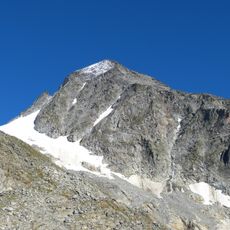
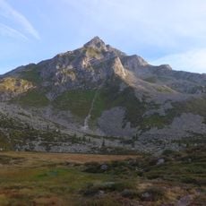
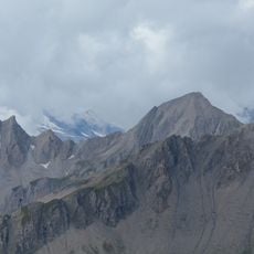
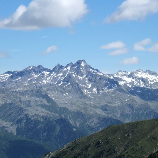
The Napfspitze, also called Dreiecketer or Cima Cadini, is a 3,144-metre peak on the main chain of the Zillertal Alps, on the border between Tyrol and South Tyrol. Its summit mass is bare grey rock with snow patches in gullies and on ledges, and several secondary points extend west along the connecting ridge. Lower slopes are darker grey-green with scattered vegetation.
The first documented ascent took place in 1880 when mountaineers R. Seyerlein and St. Kirchner completed the southern arête route. Since then the peak has become a regular destination for climbers and hikers exploring the Alps.
The peak lies on the border between Tyrol and South Tyrol, and its names reflect that: Napfspitze in German, Cima Cadini in Italian, and Dreiecketer as a further German variant. The first climbers, Seyerlen and Kirchner, reached the top in 1880 by the south ridge; the route is still rarely walked today.
The normal route starts at the inn in the Zillergrund and heads south through the Sundergrund towards Mitterjoch, leaving the marked path beneath the Oberlangleben col. The rest is trackless over boulder-strewn ground and up gullies to the summit block, with climbing of UIAA grade I; allow five to seven hours. From the south, the Grießbachsee trail leads to the Grießbachjöchl col and the east ridge, or the long south ridge can be taken at grade II.
The first ascent on 15 July 1880, by Reinhold Seyerlen with guide Stefan Kirchner via the south ridge, is recorded in the German Alpine Club literature. The peak's 600-metre prominence over the deep notches to the Wollbachspitze and Rauchkofel makes it an unusually independent summit for its height.
The community of curious travelers
AroundUs brings together thousands of curated places, local tips, and hidden gems, enriched daily by 92,845 contributors worldwide.