
Plank am Kamp, locality and cadastral community in Krems District
Location: Schönberg am Kamp
Elevation above the sea: 233 m
GPS coordinates: 48.55530,15.68280
Latest update: March 9, 2025 00:28

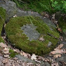
Mühlsteinbruch Altenhof
1.2 km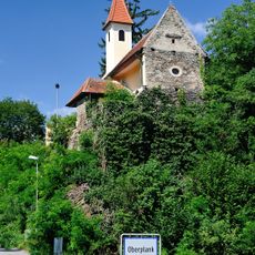
Chapel Oberplank
845 m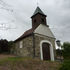
Ortskapelle
1.2 km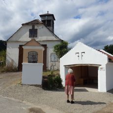
Bildstock Oberplank
1.1 km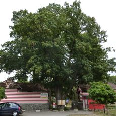
Kampbad
68 m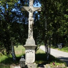
Steinkreuz Altenhof
1.1 km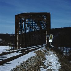
Railway bridge Plank am Kamp
431 m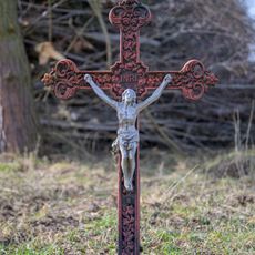
Gusseisenkreuz Thürneustift
1.3 km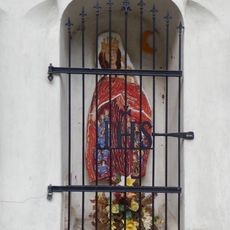
Bildstock "In der Krotzn"
550 m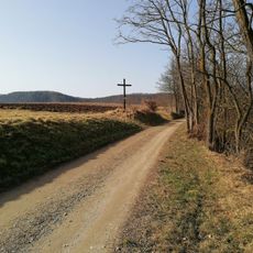
Wayside cross Plank
131 m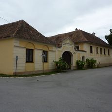
Gutshof/Meierhof (herrschaftlich)
328 m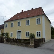
Pfarrhof
95 m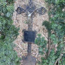
Eisenkreuz an der Kamptalstraße
464 m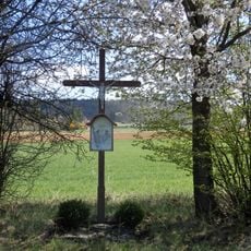
Holzkreuz bei Fernitz
1.5 km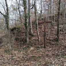
Wegkreuz Tettenhengstweg
498 m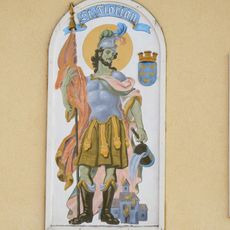
Heiligenbild St. Florian, Plank
169 m
Heiligenbild Mariä Krönung Schödlhof
350 m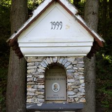
Heindl-Gedenkpfeiler Altenhof
1.4 km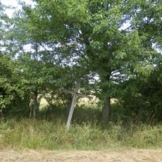
Hager-Kreuz
1.5 km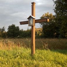
Holzkreuz Tettenhengstbergstraße
1.7 km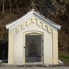
Kapelle am Rabenstein, Plank
446 m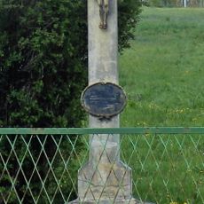
Betonkreuz in Plank am Kamp
527 m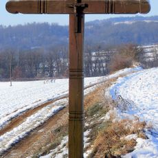
Wegkreuz Schmiedberg
765 m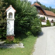
Marterl in Altenhof
1.1 km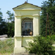
Plankenholzer chapel
911 m
Public bookcase Plank am Kamp
86 m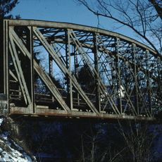
Railway bridge Plank am Kamp
42 m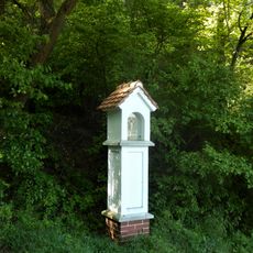
Marterl in Altenhof
938 mReviews
Visited this place? Tap the stars to rate it and share your experience / photos with the community! Try now! You can cancel it anytime.
Discover hidden gems everywhere you go!
From secret cafés to breathtaking viewpoints, skip the crowded tourist spots and find places that match your style. Our app makes it easy with voice search, smart filtering, route optimization, and insider tips from travelers worldwide. Download now for the complete mobile experience.

A unique approach to discovering new places❞
— Le Figaro
All the places worth exploring❞
— France Info
A tailor-made excursion in just a few clicks❞
— 20 Minutes