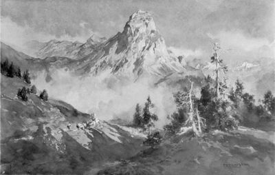
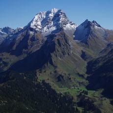
Roggelskopf, Alpine summit in Vorarlberg, Austria.
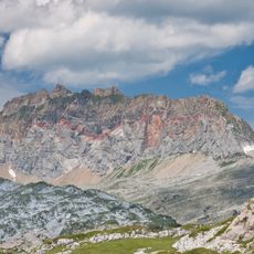
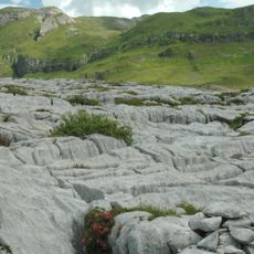
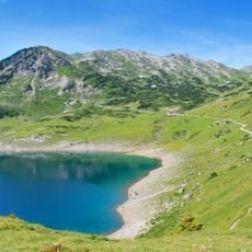
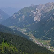
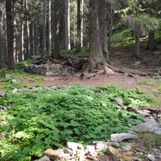
Roggelskopf is a mountain summit at 2284 meters elevation in the foothills of Vorarlberg, with rocky sections and gravel trails crossing through alpine meadows to reach the top. The approach combines sections of open ridge walking with forested stretches before breaking into exposed higher slopes near the peak.
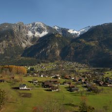
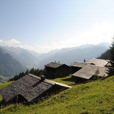
The paths around this summit developed over centuries as local communities built routes for reaching high Alpine pastures and connecting mountain valleys. These ancient trails still link several pastoral areas and show how the mountain landscape was historically used and traversed.
The mountain meadows around this summit reflect generations of pastoral land use that has kept the slopes open and shaped the landscape you see while walking upward.
The route is well marked but upper sections demand sure footing and a head for heights, particularly where rope belays are installed for safety. Starting early and preparing for sudden weather changes is wise, as the altitude can bring quick shifts in conditions.
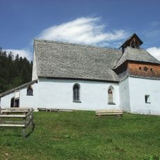
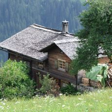
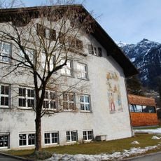
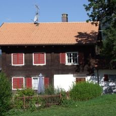
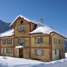
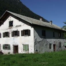
The rope safety installations on the upper reaches were added more recently than one might assume, offering modern protection on an otherwise traditionally routed climb. You will also notice working Alpine huts that sit surprisingly close during your ascent, providing shelter and refreshment when most needed.
The community of curious travelers
AroundUs brings together thousands of curated places, local tips, and hidden gems, enriched daily by 60,000 contributors worldwide.