·

Enable Location

We need your location to show you interesting places around you

Discover nearby places

Find interesting locations and hidden gems around you

Precise directions

Get accurate directions and distances to places

Your location is never shared with other users. It's only used when you tap the location button.

Paschberg

Log in to your account

Start exploring — it's free

Trusted by 62,653 travelers worldwide

Continue with Google
Continue with Apple
or

We will send you a code to connect

By continuing, you accept our Terms and Conditions and our Privacy Policy

Check your inbox

We've sent a pincode in your inbox. Please enter the code below.

Paschberg

Paschberg, Mountain summit in Tyrol, Austria

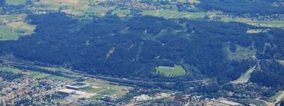
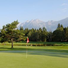
Paschberg is a 930-meter summit in the Patscherkofel range south of Innsbruck, with dense forests covering its slopes. Multiple marked hiking trails run through the mountain, connecting various starting points to the summit.

The mountain has served as an observation point and natural boundary since medieval times, overlooking important trade routes near Innsbruck. Its strategic location made it a key landmark for travelers and merchants crossing the region for centuries.

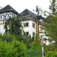
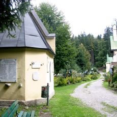
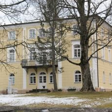
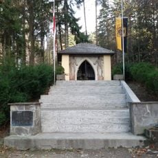
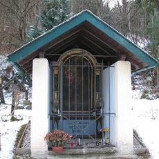
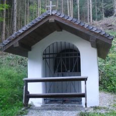
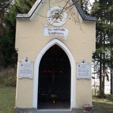
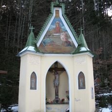
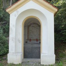
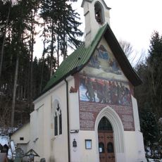
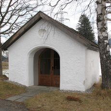
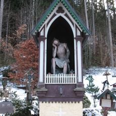
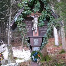
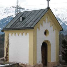
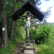
The mountain has long been tied to the region's pastoral farming life and marks a natural boundary between neighboring valleys. Visitors find simple wooden chapels on the slopes, maintained by local mountain dwellers.

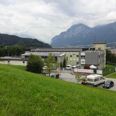
The hiking routes are easily accessible from the southern edge of Innsbruck and clearly marked, offering different difficulty levels for various skill levels. Most routes start around 500 to 600 meters in elevation and take between two to four hours to reach the summit.

Beneath the mountain runs a network of natural water channels that supply spring water to several communities in the surrounding valleys. This hidden system remains invisible to hikers but has shaped the region's water supply for centuries.

The community of curious travelers

AroundUs brings together thousands of curated places, local tips, and hidden gems, enriched daily by 60,000 contributors worldwide.

Start exploring
Location
Elevation above the sea
930 m
Part of
Patscherkofel
GPS coordinates
47.24509,11.41806
Latest update
December 14, 2025 11:21
« Paschberg - Mountain summit in Tyrol, Austria » is provided by Around Us (aroundus.com). Images and texts are derived from Wikimedia project under a Creative Commons license. You are allowed to copy, distribute, and modify copies of this page, under the conditions set by the license, as long as this note is clearly visible.

Discover hidden gems everywhere you go!

From secret cafés to breathtaking viewpoints, skip the crowded tourist spots and find places that match your style. Our app makes it easy with voice search, smart filtering, route optimization, and insider tips from travelers worldwide. Download now for the complete mobile experience.

Around Us App Screenshot

A unique approach to discovering new places

Le Figaro

All the places worth exploring

France Info

A tailor-made excursion in just a few clicks

20 Minutes

Around Us
Travel Guide & Maps
Download

Send to your phone

QR Code
1

Open the camera app on your mobile.

2

Point at the QR code with your camera. A notification will appear.

3

Tap the notification to open the link.