
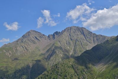
Gumriaul, mountain in the Villgratner Berge in East Tyrol
Location: Anras
Location: Außervillgraten
Elevation above the sea: 2,918 m
GPS coordinates: 46.81670,12.50679
Latest update: March 11, 2025 19:44

Anras-Gericht, Pfleghof
6.2 km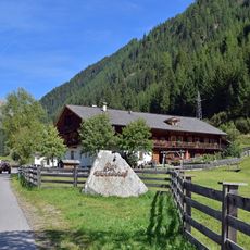
Wurzerhof
4.5 km
Anras-St Stephan
6.2 km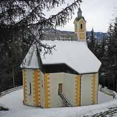
Anras-Antonius v Padua
5.9 km
Pfarrkirche hl. Andreas Abfaltersbach
6.2 km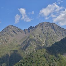
Gölbner
863 m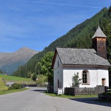
Regenstein
5.1 km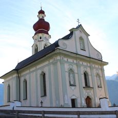
Filialkirche Maria Himmelfahrt Anras
6.3 km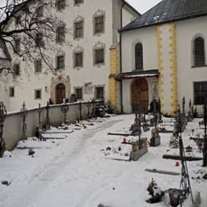
Friedhof Anras
6.2 km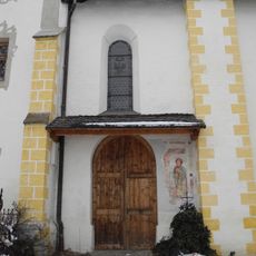
Anras-Friedhofskapelle
6.2 km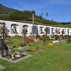
Friedhof Abfaltersbach
6.3 km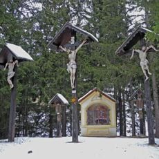
Anras-Grabkapelle und Kreuzweg
5.9 km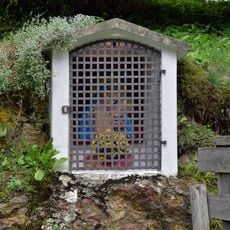
Erschbaumbildstock
6.2 km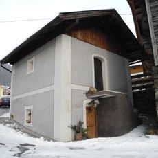
Trogerkasten
6.3 km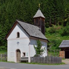
Wurzerkapelle, Außervillgraten
4.5 km
Bauernhaus Mesner
6.2 km
Noiler-Kasten
6.1 km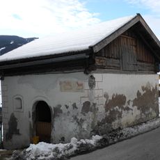
Asch-Mascher Kasten
6.4 km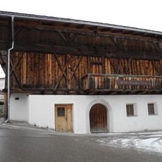
Gschwendter Stadel
6.3 km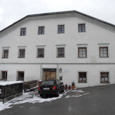
Gasthaus Goller
6.2 km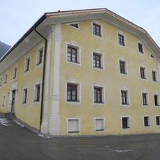
Anras-Widum
6.2 km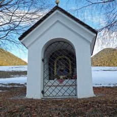
Bildstock Bartler
6.3 km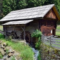
Getreidemühle Winkeltal
4.5 km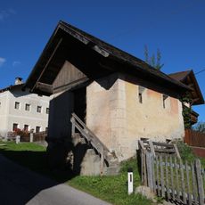
Trögeler-Kasten
6.4 km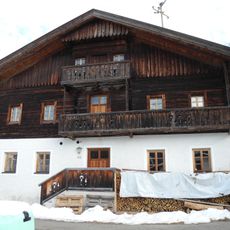
Mesnerhaus
6.3 km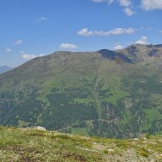
Gabesitten
6.3 km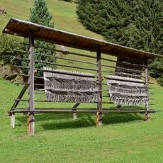
Bodenharpfe
5.5 km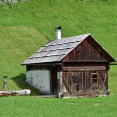
Waschhütte Wurzerhof
4.6 kmReviews
Visited this place? Tap the stars to rate it and share your experience / photos with the community! Try now! You can cancel it anytime.
Discover hidden gems everywhere you go!
From secret cafés to breathtaking viewpoints, skip the crowded tourist spots and find places that match your style. Our app makes it easy with voice search, smart filtering, route optimization, and insider tips from travelers worldwide. Download now for the complete mobile experience.

A unique approach to discovering new places❞
— Le Figaro
All the places worth exploring❞
— France Info
A tailor-made excursion in just a few clicks❞
— 20 Minutes