Oppidum von Gründberg, Celtic hilltop settlement in Linz, Austria
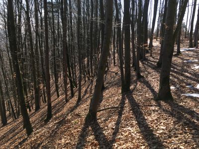
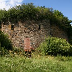
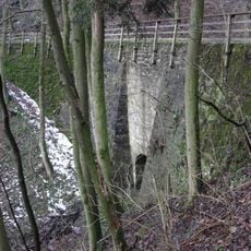
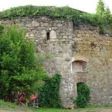
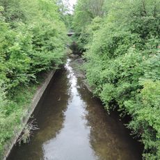
The Oppidum von Gründberg is a Celtic hilltop settlement on a ridge north of the Danube in Linz that stretches for roughly 1.5 kilometers in length. The site uses natural steep slopes for protection and is secured on the north side by double walls with a characteristic Celtic gate structure.
The settlement was established as a key stopping point for trade routes connecting the Pre-Alps through the Mühlviertel region to the Moldau Valley in Bohemia. Later the medieval salt trade route called Linzer Steig ran across the grounds and linked different cultural regions together.
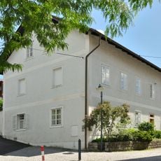
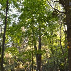
The name derives from the Gründberg ridge where the settlement was built, and visitors can still sense the layout of this Celtic community across the landscape. The remains show how these early groups arranged their living spaces on elevated terrain.
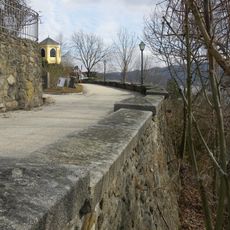
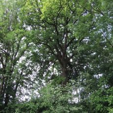
Visitors should know that the site sits on elevated terrain, so sturdy footwear and time for exploration are necessary. The natural topography helps you understand the defensive structures and the full extent of the settlement as you walk around.
Excavations in 1997 uncovered iron deposits containing tools, kitchen utensils, weapons, and wagon fittings from the Late La Tène period. These finds offer direct insight into the everyday life and craftsmanship skills of this Celtic community.
The community of curious travelers
AroundUs brings together thousands of curated places, local tips, and hidden gems, enriched daily by 60,000 contributors worldwide.