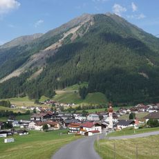
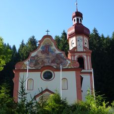
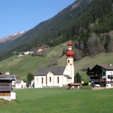
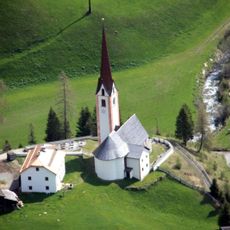
Roßkogel, Mountain summit in Stubai Alps, Austria
Roßkogel is a 2646 meter peak in the Stubaier Alps featuring steep slopes and rocky terrain. The mountain sits between several valleys and offers climbers multiple approach options from different huts.
The Roßkogel lies in the Sellrainer Berge, the northern chain of the Stubaier Alpen, and its summit is built of gneiss and amphibolite. The sources record no founding date or first ascent; the mountain's documented history is cartographic, appearing in Austrian survey maps such as the 1:50,000 sheet Axams (Blatt 147). Its position west of Innsbruck makes it one of the marked peaks of the Stubaier Alpen seen from the provincial capital.
The summit cross stands on the eastern top, a few metres lower than the western one but chosen for its better view. Just east of the highest point, the boundary of the municipalities of Inzing, Oberperfuss and Sellrain meets at a four-way marker. The peak is also a landmark seen from Innsbruck, west of the city.
The ascent takes about three hours and can be approached from different mountain huts along marked routes. Proper hiking boots and mountain experience are necessary for the climb.
A metal cross at the summit displays the mountain's name and elevation, maintained by local mountaineering groups. This marker guides climbers reaching the peak from different valleys.
The community of curious travelers
AroundUs brings together thousands of curated places, local tips, and hidden gems, enriched daily by 93,662 contributors worldwide.