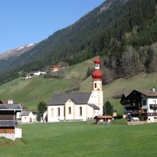
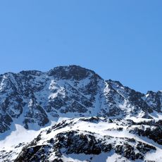
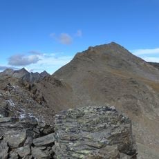
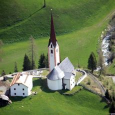
Freihut, Mountain summit in Stubaier Alps, Austria
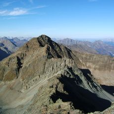
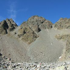
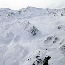
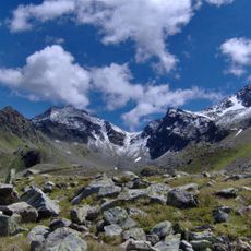
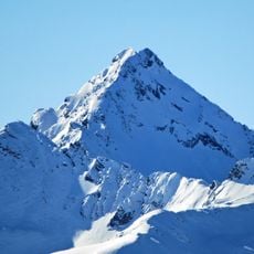
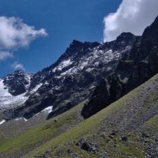
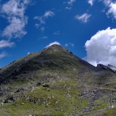
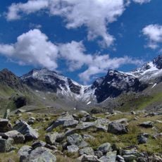
Freihut is a 2,625 m summit in the Stubaier Alps above Gries im Sellrain, the last peak of the ridge separating the Lüsenstal from the Gleirschtal to the west. Two lower summits precede it: the Kleine Freihut (2,582 m) to the north and the Jöchlegg (2,107 m) to the northeast. The summit cross stands not on the highest point but on a rise about 300 m northeast of it, above a green high plateau. The mountain is built mainly of granodiorite gneiss and amphibolite.
Climbers first documented routes to this peak in the late 1800s, establishing it as a recognized climbing destination. Over time, the mountain became part of the regular touring circuit for mountaineers in the Stubaier Alps region.
The summit cross stands not on the highest point but on a rise about 300 m to the northeast, so walkers heading for the cross pass the true 2,625 m top first. The ridge over Jöchlegg, Kleine Freihut and Freihut also marks the municipal boundary between Gries im Sellrain and St. Sigmund im Sellrain.
The route from Praxmar parking area takes roughly five and a half hours to complete the round trip. Good hiking boots and solid fitness are recommended, as the path crosses steep alpine terrain.
The summit plateau is remarkably flat and spacious for its elevation, offering more room to rest and observe than typical Alpine peaks. This generous flat area allows hikers to enjoy the location without feeling crowded.
The community of curious travelers
AroundUs brings together thousands of curated places, local tips, and hidden gems, enriched daily by 94,092 contributors worldwide.